
Country Guatemala Municipality Raxruhá Local time Saturday 3:18 AM | Department Alta Verapaz Climate Af | |
 | ||
Weather 17°C, Wind SE at 2 km/h, 84% Humidity | ||
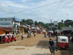
Raxruhá is a municipality in the north of the Guatemalan department of Alta Verapaz. The municipality, which was formerly part of Chisec, was founded in 2008.
Contents
- Map of RaxruhC3A1 Guatemala
- Franja Transversal del Norte
- Municipality formation
- Tourism
- Climate
- Geographic location
- References
Map of Raxruh%C3%A1, Guatemala
Franja Transversal del Norte
The Northern Transversal Strip was officially created during the government of General Carlos Arana Osorio in 1970, by Legislative Decree 60-70, for agricultural development. The decree literally said: "It is of public interest and national emergency, the establishment of Agrarian Development Zones in the area included within the municipalities: San Ana Huista, San Antonio Huista, Nentón, Jacaltenango, San Mateo Ixtatán, and Santa Cruz Barillas in Huehuetenango; Chajul and San Miguel Uspantán in Quiché; Cobán, Chisec -whom Raxruhá belonged at the time-, San Pedro Carchá, Lanquín, Senahú, Cahabón and Chahal, in Alta Verapaz and the entire department of Izabal."
Municipality formation
The municipality of Raxruhá was formed in 2008, from territory that once belonged to Chisec municipality.
Tourism
Raxruhá's main tourist attraction are the Candelaria Caves, which consist of a large system of natural cave formations at the transition between low land and mountainside between Chisec and Raxruhá municipalities. The caves are famous not only for their natural beauty but for the significance they had for the Mayan culture.
Climate
Raxruhá has tropical climate (Köppen: Af).
Geographic location
Rahruhá is immersed in between Chisec and Fray Bartolomé de las Casas, which both Alta Verapaz Department municipalities.