
Country United States Time zone CST (UTC-6) Elevation 259 m Local time Saturday 4:05 AM | Established July 12, 1887 ZIP codes 61025, 61036 Area 30.38 km² Population 455 (2010) | |
 | ||
Weather 4°C, Wind NE at 24 km/h, 96% Humidity | ||
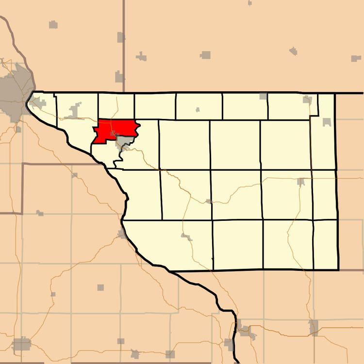
Rawlins Township is one of twenty-three townships in Jo Daviess County, Illinois, USA. As of the 2010 census, its population was 455 and it contained 189 housing units. It was formed as Grant Township from West Galena Township on July 12, 1887; its name changed to Rawlins Township on December 20, 1887.
Contents
- Map of Rawlins Township IL 61036 USA
- Geography
- Cities towns villages
- Adjacent townships
- Major highways
- School districts
- Political districts
- References
Map of Rawlins Township, IL 61036, USA
Geography
According to the 2010 census, the township has a total area of 11.73 square miles (30.4 km2), all land.
Cities, towns, villages
Adjacent townships
Major highways
School districts
Political districts
References
Rawlins Township, Jo Daviess County, Illinois Wikipedia(Text) CC BY-SA