
OS grid reference SE700212 Sovereign state United Kingdom Postcode district DN14 Dialling code 01405 | Post town GOOLE Local time Saturday 8:48 AM | |
 | ||
Weather 3°C, Wind W at 3 km/h, 94% Humidity | ||
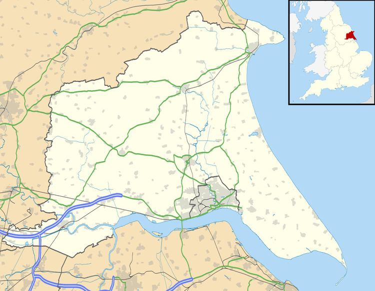
Rawcliffe Bridge is a small hamlet in the East Riding of Yorkshire, England. It is situated approximately 3 miles (4.8 km) south-west of Goole and lies just south of the M62 motorway.
Map of Rawcliffe Bridge, Goole, UK
It forms part of the civil parish of Rawcliffe which lies just to the north-west. The hamlet was once served by a station on the Selby to Goole branch line, but this closed along with the line in June 1964.
The Aire and Calder Navigation runs just south of Rawcliffe Bridge. Sugar Mill Ponds lies just to the west and is designated as a Local Nature Reserve and was part funded by lottery money.
Rawcliffe Bridge is home to an ex-RAF hardened communications UNITER bunker which is now owned by a security company, next to this site also is a MoD GPSS fuel depot.
References
Rawcliffe Bridge Wikipedia(Text) CC BY-SA