Surface area 14.3 km (5.5 sq mi) Max. depth 24.1 m (79 ft) Surface elevation 4 m Cities Ratzeburg | Average depth 12 m (39 ft) Area 14.3 km² Mean depth 12 m Outflow location Wakenitz | |
 | ||
Primary inflows Similar Dom, Trave, Dassower See, Holstentor, Hemmelsdorfer See | ||
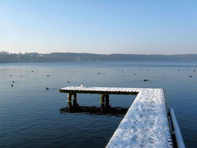
Ratzeburger See is a lake in Schleswig-Holstein, Germany. At an elevation of 4 m, its surface area is 14.3 km².
Map of Ratzeburger See, 23909 Ratzeburg, Germany
Amidst the lake is an island upon which the City of Ratzeburg is located, accessible from the mainland via three isthmuses. The island is home to the Old Town, including a cathedral - one of the oldest in Germany. At the end of the 17th century, the old castle at the western end of the island was completely destroyed and the site has since been degraded to a mere parking lot.
References
Ratzeburger See Wikipedia(Text) CC BY-SA
