
Elevation 418 m | Postal code 391 42 to 391 43 Area 21.13 km² | |
 | ||
Vypsan fixa letadlo kd ratibo sk hory 17 3 2017
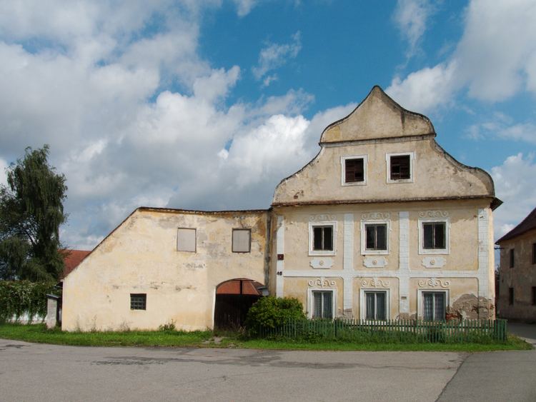
Ratibořské Hory is a village and municipality (obec) in Tábor District in the South Bohemian Region of the Czech Republic.
Contents
Map of Ratibo%C5%99sk%C3%A9 Hory, Czechia
The municipality covers an area of 21.13 square kilometres (8.16 sq mi), and has a population of 747 (as at 2 October 2006).
Ratibořské Hory lies approximately 10 kilometres (6 mi) north-east of Tábor, 59 km (37 mi) north of České Budějovice, and 74 km (46 mi) south of Prague.
References
Ratibořské Hory Wikipedia(Text) CC BY-SA