
Country USA FIPS code 19-65730 Area 57 ha Zip code 52544 Local time Friday 9:50 PM | Time zone Central (CST) (UTC-6) GNIS feature ID 0460531 Elevation 286 m Population 89 (2013) Area code 641 | |
 | ||
Weather 13°C, Wind E at 11 km/h, 100% Humidity | ||
Rathbun is a city in Appanoose County, Iowa, United States. The population was 89 at the 2010 census.
Contents
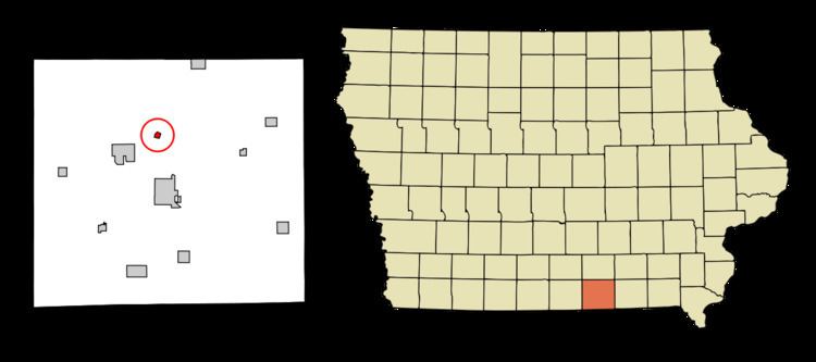
Map of Rathbun, IA 52544, USA
History
Incorporated in 1897, Rathbun was established in 1892 as a mining town. It was named for Charles H. Rathbun, a mine official. At the end of the 19th century, "the valley of Walnut Creek was one continuous mining camp, known under different names, Jerome, Diamond, Mystic, Clarksdale, Rathbun and Darby" (later known as Darbyville).
The Star Coal Company of Streator, Ill. operated the Rathbun Mine, with an 82-foot-deep (25 m) shaft. This mine was in operation in 1895, and by 1908 it was considered one of the best equipped longwall mines in the county. The Darby mine, operated by the Unity Block Coal Company, was about a mile northeast of Rathbun. This had a 50-foot (15 m) shaft and was nearly played out by 1908. The Evans Mine, about halfway between the Rathbun and Darbyville, formerly operated by the American Coal Company, had already been closed by 1908. In 1912, United Mine Workers Local 372 in Rathbun had 213 members. This was close to half the total population at the time.
Geography
Rathbun is located at 40°48′5″N 92°53′18″W (40.801375, −92.888296) about a mile west of the confluence of Walnut Creek and the Chariton River, about 2 miles south of Rathbun Dam.
According to the United States Census Bureau, the city has a total area of 0.22 square miles (0.57 km2), all land.
2010 census
As of the census of 2010, there were 89 people, 42 households, and 27 families residing in the city. The population density was 404.5 inhabitants per square mile (156.2/km2). There were 51 housing units at an average density of 231.8 per square mile (89.5/km2). The racial makeup of the city was 98.9% White and 1.1% from two or more races. Hispanic or Latino of any race were 1.1% of the population.
There were 42 households of which 19.0% had children under the age of 18 living with them, 61.9% were married couples living together, 2.4% had a male householder with no wife present, and 35.7% were non-families. 33.3% of all households were made up of individuals and 11.9% had someone living alone who was 65 years of age or older. The average household size was 2.12 and the average family size was 2.67.
The median age in the city was 47.5 years. 18% of residents were under the age of 18; 5.6% were between the ages of 18 and 24; 19.1% were from 25 to 44; 37.2% were from 45 to 64; and 20.2% were 65 years of age or older. The gender makeup of the city was 53.9% male and 46.1% female.
2000 census
As of the census of 2000, there were 88 people, 39 households, and 24 families residing in the city. The population density was 408.7 people per square mile (154.4/km²). There were 53 housing units at an average density of 246.2 per square mile (93.0/km²). The racial makeup of the city was 98.86% White, and 1.14% from two or more races.
There were 39 households out of which 30.8% had children under the age of 18 living with them, 56.4% were married couples living together, 2.6% had a female householder with no husband present, and 35.9% were non-families. 30.8% of all households were made up of individuals and 17.9% had someone living alone who was 65 years of age or older. The average household size was 2.26 and the average family size was 2.80.
In the city, the population was spread out with 21.6% under the age of 18, 8.0% from 18 to 24, 22.7% from 25 to 44, 27.3% from 45 to 64, and 20.5% who were 65 years of age or older. The median age was 44 years. For every 100 females there were 83.3 males. For every 100 females age 18 and over, there were 109.1 males.
The median income for a household in the city was $40,000, and the median income for a family was $40,625. Males had a median income of $25,833 versus $25,833 for females. The per capita income for the city was $14,749. There were 18.5% of families and 17.0% of the population living below the poverty line, including 28.0% of under eighteens and 10.0% of those over 64.