
Alternate name Rathturtle Moat Width 36 m (118 ft) | Altitude 286 m (938 ft) Length 49 m (161 ft) | |
 | ||
Location | ||
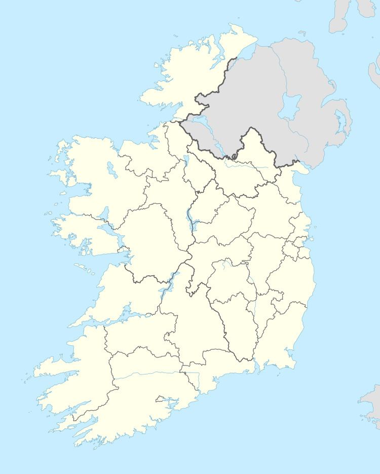
Rath Turtle Moat is a ringwork and National Monument located in County Wicklow, Ireland.
Contents
Location
Rath Turtle Moat is located in Glen Ding Wood, 1.6 km (0.99 mi) northwest of Blessington, overlooking the River Liffey reservoir and near the source of the Morell River.
History
The site is believed to derive its name from the Meic Torcaill, a leading Norse–Gael family in 12th-century Dublin. The site later came under Norman control. Ringworks like that at Rath Turtle were built during the earliest phase of the Norman conquest of Ireland. They usually had a wooden gate tower, with a stone-lined causewayed entrance and stone-lined banks topped by a wooden palisade.
Description
The ringwork is ovoid and consists of a raised central area enclosed by a high earthen bank, an external fosse and an external bank. The entrance is to the south has a causeway across the ditch.