
Country Thailand Time zone THA (UTC+7) Geocode 2407 Population 12,812 (2015) | Seat Bang Kha Postal code 24120 Area 134.9 km² Province Chachoengsao Province | |
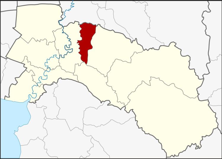 | ||
Ratchasan (Thai: ราชสาส์น) is a district (Amphoe) in the central part of Chachoengsao Province, central Thailand.
Contents
- Map of Ratchasan District Chachoengsao Thailand
- History
- Geography
- Central administration
- Local administration
- References
Map of Ratchasan District, Chachoengsao, Thailand
History
The area of Ratchasan was separated from Phanom Sarakham district and settled a minor district (King Amphoe) on February 16, 1977. It was upgraded to a full district on July 4, 1994.
Geography
Neighboring districts are (from the east clockwise) Phanom Sarakham, Plaeng Yao, Bang Khla of Chachoengsao Province and Ban Sang of Prachinburi Province.
The important water resource is the Khlong Tha Lat.
Central administration
The district Ratchasan is subdivided into 3 subdistrict (Tambon), which are further subdivided into 31 administrative villages (Muban).
Local administration
There are 3 subdistrict administrative organizations (SAO) in the district:
References
Ratchasan District Wikipedia(Text) CC BY-SA