
Local time Saturday 1:59 AM | Time zone CET (UTC+1) Population 410 (2011) | |
 | ||
Weather 8°C, Wind N at 10 km/h, 74% Humidity | ||
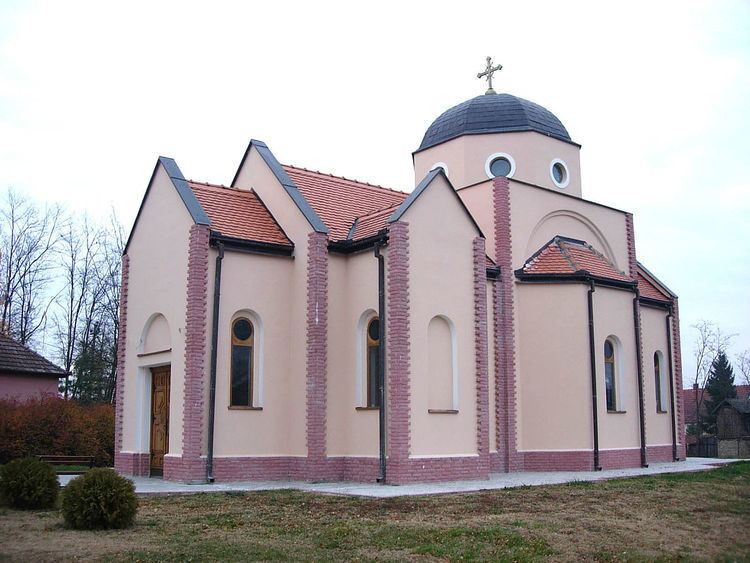
Rastina (Serbian Cyrillic: Растина) is a village located in the Sombor municipality, in the West Bačka District, Vojvodina province in northern Serbia, at the border with Hungary. The village has a Serb ethnic majority and a population of 410 people (2011 census).
Contents
Map of Rastina, Serbia
NameEdit
In Serbian, the village is known as Rastina (Растина), in Croatian as Rastina, and in Hungarian as Haraszti or Rasztina.
HistoryEdit
It was first mentioned in the 14th century as Harasti during the administration of the Kingdom of Hungary. During Ottoman rule (16th-17th century), Rastina was populated by ethnic Serbs. In the first half of the 19th century, it was a possession of Baron Redl. In the second half of the 19th century, Rastina was not regarded as separate settlement, but as part of Stanišić, while until the end of the Second World War, it was regarded as part of Riđica. It was officially proclaimed a separate settlement after World War II. After World War I, Rastina was settled by volunteers from Lika and Herzegovina.
Historical populationEdit
Population of the village in history: