Time zone IST (UTC+5:30) Population 4,173 (2001) | Taluka Shahapur Vehicle registration KA Local time Saturday 6:22 AM ISO 3166 code ISO 3166-2:IN | |
 | ||
Weather 27°C, Wind SW at 8 km/h, 38% Humidity | ||
Rastapur (Kannada: ) is a panchayat village in the southern state of Karnataka, India. Administratively, Rastapur is under Shahapur Taluka of Yadgir district in Karnataka. Rastapur is 6 km by road east of the village of Sagar and 6.5 km by road northwest of the village of Hattigudur. The nearest railhead is in Yadgir.
Contents
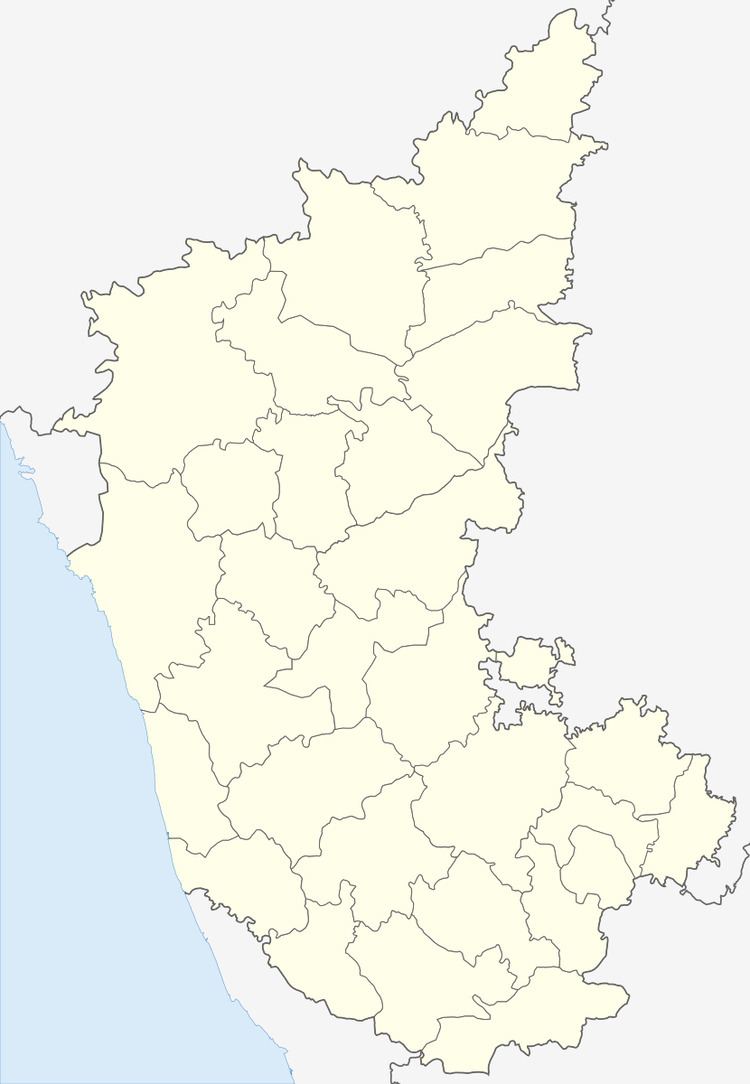
Map of Rasthapur, Karnataka 585323
Demographics
As of 2001 census, Rastapur had 4,173 inhabitants, with 2,065 males and 2,108 females.
References
Rastapur, Karnataka Wikipedia(Text) CC BY-SA
