
Admin. region Kassel Elevation 332 m (1,089 ft) Area 30.07 km² Local time Saturday 12:12 AM Dialling code 06651 | Time zone CET/CEST (UTC+1/+2) Population 1,814 (30 Jun 2009) Postal code 36169 Administrative region Kassel | |
 | ||
Weather 2°C, Wind NE at 11 km/h, 88% Humidity | ||
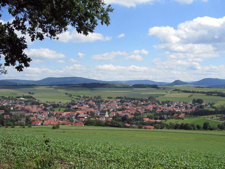
Rasdorf is a municipality in the district of Fulda, in Hesse, Germany.
Contents
Map of 36169 Rasdorf, Germany
Geography
Rasdorf is situated within the Kuppenrhön-part of the Rhön hills, at the border of Hesse and Thuringia.
Administration
The districts of Rasdorf, Setzelbach and Grüsselbach form the municipality of Rasdorf.
History
Rasdorf was mentioned for the first time in 780.
Sights
The memorial Point Alpha is located at the border of Hesse and Thuringia, which was the Inner German border until 1990. For decades, an observation post of the US army was located here. Today, the "Point Alpha Foundation" strives to maintain a section of the inner German border fortifications and the American observation post as a memorial. The intention is to remind visitors of the division of Germany and the confrontation between NATO and Warsaw Pact forces.