
Country United States ZIP code 48413 (Bad Axe) Elevation 222 m Area code 989 | Time zone Eastern (EST) (UTC-5) GNIS feature ID 635653 Local time Friday 5:24 PM | |
 | ||
Weather 10°C, Wind N at 26 km/h, 63% Humidity | ||
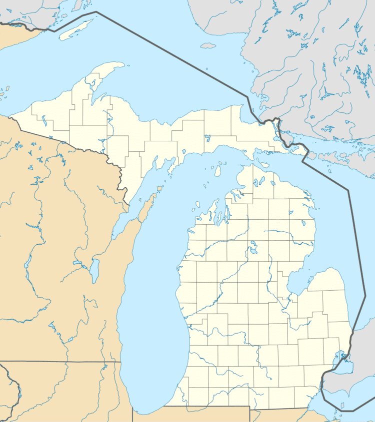
Rapson is an unincorporated community in Huron County in the U.S. state of Michigan, located in what is popularly called the Thumb portion of the Lower Peninsula. It is situated at the corners where four townships meet at Rapson and Verona Roads: Bloomfield on the northeast, Sigel on the southeast, Verona on the southwest, and Lincoln on the northwest.
Contents
Map of Rapson, Bloomfield Township, MI 48413, USA
Education
Rapson was home to a one-room school house for 96 years. Officially known as Bloomfield Township District No. 7 Frl., students could attend from kindergarten through 8th grade. In its heyday, Rapson School had as many as 50 students. It closed in 2008 when enrollment dropped to just one student.
Church
St. Joseph's Catholic Church is the only church located in Rapson. The priest in residence also served Mass at Most Holy Trinity Catholic Church located 7 miles to the south in Smith Corners. The two parishes are in the process of merging with Sacred Heart in Bad Axe to create one unified parish.
Social
While Rapson was once home to 'The Grainery' bar, the building was then occupied by the Bad Axe Moose Lodge #2358. The Moose Lodge has since closed.
Media
Rapson is served by a daily newspaper, the Huron Daily Tribune, and two commercial radio stations owned by Thumb Broadcasting, WLEW-AM/FM. WLEW-AM 1340 plays country music, and WLEW-FM, known as "Cruise 102.1," features an adult hits/classic hits format.