
Postal code 5640 Area 197.8 km² | Time zone BST (UTC+6) Website [1] | |
 | ||
Rowmari (Raumari, Bengali: রৌমারী) is an Upazila of Kurigram District in the Division of Rangpur, Bangladesh.
Contents
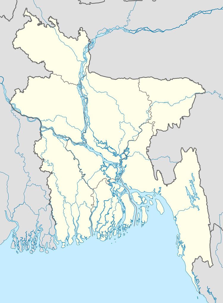
Map of Rowmari Upazila, Bangladesh
Geography
Rowmari is located at 25.5625°N 89.8500°E / 25.5625; 89.8500 . It has 26065 households and total area 197.8 km².
Demographics
As of the 1991 Bangladesh census, Rowmari has a population of 137040. Males constitute 49.34% of the population, and females 50.66%. This Upazila's eighteen up population is 63884. Raomari has an average literacy rate of 16.5% (7+ years), and the national average of 32.4% literate.
Administration
Raomari has 6 Unions/Wards, 29 Mauzas/Mahllas, and 193 villages.
References
Raomari Upazila Wikipedia(Text) CC BY-SA