
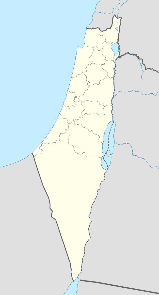
Arabic رنتيّة Palestine grid 142/161 Local time Friday 8:55 PM | Date of depopulation 10 July 1948 | |
 | ||
Name meaning Rantieh, from a personal name Also spelled Rantieh, Rantia, Rentie Weather 16°C, Wind NW at 11 km/h, 75% Humidity | ||
Rantiya (Arabic: رنتيّة, known to the Romans as Rantia and to the Crusaders as Rentie) was a Palestinian village, located 16 kilometers east of Jaffa. During the British Mandate in Palestine, in 1945 it had a population of 590 inhabitants.
Contents
Those inhabitants became refugees after a 10 July 1948 assault by Israeli forces from the Palmach's Eighth Armored Brigade and the Third Infantry Battalion of the Alexandroni Brigade during the 1948 Arab-Israeli war.
Of the over 100 houses that made up the village, only three remain standing today. The Jewish localities of Mazor, Nofekh, and Rinatia are located on Rantiya's former lands.
History
The village was situated on a low mound on an ancient site.
During the Crusader era the village was known as Rentie, Rantia, or Rentia.
In 1122 the tithes of the village were granted to the hospital of the church of St John at Nablus. In 1166, the tithes were granted to the Knights Hospitaller. A vaulted building in the village, named al-Baubariya, has been dated to the Crusader period.
Ottoman era
Rantiya, like the rest of Palestine, was incorporated into the Ottoman Empire in 1517, and in 1557 the revenues of the village were designated for the new waqf of Hasseki Sultan Imaret in Jerusalem, established by Hasseki Hurrem Sultan (Roxelana), wife of Suleiman the Magnificent. In the late 1550s, local disturbances decreased the income from the village by nearly 40%.
In 1596, Rantiya was a village in the nahiya ("subdistrict") of Ramla ( liwa' ("district") of Gaza), with a population of 132. Villagers paid taxes to the authorities for the crops that they cultivated, which included wheat, barley, fruit, and sesame as well as on other types of property, such as goats and beehives. All the villagers were Muslim.
In 1870 the French explorer Victor Guérin visited and described the village as partially destroyed, while an Ottoman village list from about the same year showed that Rantiya had 33 houses and a population of 116, though the population count included men only.
In 1882, the Palestine Exploration Fund's Survey of Western Palestine found Rantiya to be a small village built of adobe bricks. At that time a main road passed right next to it.
British Mandate era
In the 1922 census of Palestine conducted by the British Mandate authorities, Rantieh had a population of 351, all Muslims. increasing the 1931 census to 411, still all Muslims, in a total of 105 houses.
By 1945 the population had increased to 590, all Arabs, while the total land area was 4,389 dunams, according to an official land and population survey. Of this, 505 were allocated for citrus and bananas, 99 were for plantations and irrigable land, 3,518 for cereals, while 13 dunams were classified as built-up areas.
1948, and after
In 1992 the village remains were described as "Three deserted houses, standing amid weeds, tall wild grasses, and the debris of several other houses, are all that remains of the village. Two of the deserted houses are made of stone, the third of concrete. All have rectangular doors and windows. Two of them have flat roofs; the third may have had a gabled roof."
References in contemporary culture
In Soraida: A Woman of Palestine, the main character explains that she named her daughter and son, Rantia and Aram, after Palestinian villages to preserve the memory of the homeland.