Elevation 1,090 m | Region Ihorombe Time zone EAT (UTC3) Population 6,000 (2001) | |
 | ||
Weather 22°C, Wind E at 5 km/h, 80% Humidity | ||
19 madagascar ranohira isalo natiolal park part three
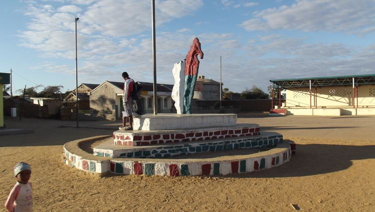
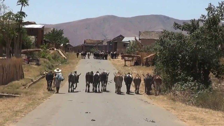
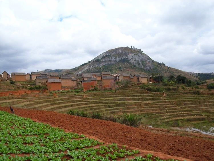
Ranohira is a town and commune in Madagascar. It belongs to the district of Ihosy, which is a part of Ihorombe Region. The population of the commune was estimated to be approximately 6,000 in 2001 commune census.
Contents
- 19 madagascar ranohira isalo natiolal park part three
- 18 madagascar ranohira isalo natiolal park part two
- Geography
- References
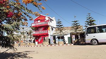
Primary and junior level secondary education are available in town. It is also a site of industrial-scale mining. The majority 85% of the population of the commune are farmers, while an additional 10% receives their livelihood from raising livestock. The most important crop is rice, while other important products are peanuts and cassava. Services provide employment for 5% of the population. There is a small supermarket in the town and a hotel typically used by tourists visiting Isalo National Park.
18 madagascar ranohira isalo natiolal park part two
Geography
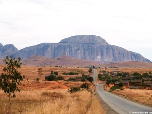
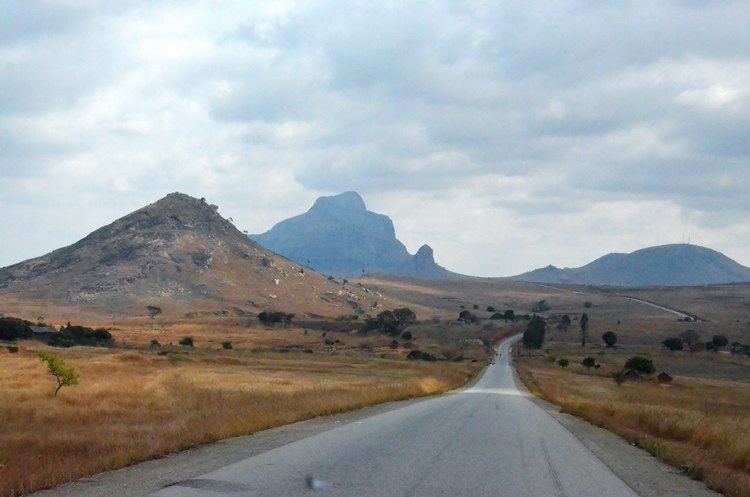
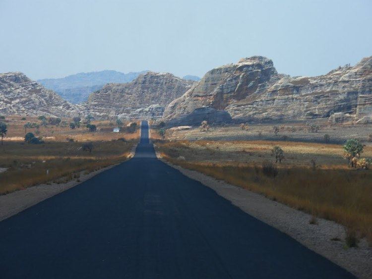
Ranohira is situated on the route nationale No. 7 from Tuléar to Fianarantsoa in the South-West of Madagascar. The next cities are Ilakaka at 26 km and Ihosy 93 km distance.
It is the closest town to the Isalo National Park.