
Country India Vehicle registration AS Population 18,822 (2003) University Rangapara College | Time zone IST (UTC+5:30) Elevation 206 m ISO 3166 code ISO 3166-2:IN | |
 | ||
Weather 24°C, Wind NE at 5 km/h, 74% Humidity | ||
Mg rangapara tezpur passenger towards tezpur town
Rangapara (IPA: ˈræŋgəˌpɑːrə) is a town and a town area committee in Sonitpur district in the Indian state of Assam.
Contents
Geography
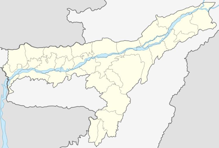
Rangapara is located at 26.82°N 92.65°E / 26.82; 92.65. It has an average elevation of 206 metres (675 feet).
Demographics
As of 2001 India census, Rangapara had a population of 18,822. Males constitute 54% of the population and females 46%. Rangapara has an average literacy rate of 76%, higher than the national average of 59.5%: male literacy is 81%, and female literacy is 70%. In Rangapara, 10% of the population is under 6 years of age.
Transport
The Rangapara North railway junction which lies on the Rangia-Murkongselek section has trains to Kamakhya, New Jalpaiguri, Dekargaon, Rangiya, New Delhi and Naharlagun.
Politics
Rangapara is part of Tezpur (Lok Sabha constituency).