
GNIS feature ID 453780 Area 99.82 km² Population 4,383 (2010) | ZIP codes 47001, 47040 Elevation 158 m Local time Friday 9:07 AM | |
 | ||
Weather 13°C, Wind S at 16 km/h, 58% Humidity | ||
Randolph Township is one of four townships in Ohio County, Indiana, United States. As of the 2010 census, its population was 4,383 and it contained 2,033 housing units.
Contents
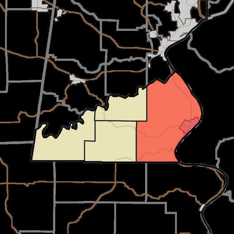
- Map of Randolph Township IN USA
- Geography
- Cities towns villages
- Unincorporated towns
- Cemeteries
- Major highways
- School districts
- Political districts
- References
Map of Randolph Township, IN, USA
Geography
According to the 2010 census, the township has a total area of 38.54 square miles (99.8 km2), of which 37.34 square miles (96.7 km2) (or 96.89%) is land and 1.21 square miles (3.1 km2) (or 3.14%) is water. The Ohio River defines the township's eastern border.
Cities, towns, villages
Unincorporated towns
(This list is based on USGS data and may include former settlements.)
Cemeteries
The township contains these three cemeteries: Cedar Hedge, LaGrange and Rising Sun.
Major highways
School districts
Political districts
References
Randolph Township, Ohio County, Indiana Wikipedia(Text) CC BY-SA