
Established 1879 (Municipality) Area code(s) +53-422 Elevation 125 m | Founded 1734 Time zone EST (UTC-5) Area 556 km² Local time Friday 8:03 AM | |
 | ||
Weather 17°C, Wind NE at 5 km/h, 86% Humidity | ||
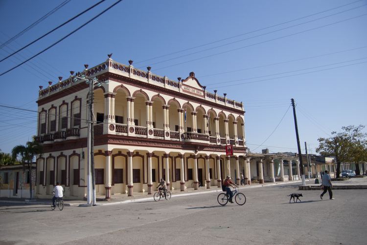
Ranchuelo is a town and municipality in the Villa Clara Province of Cuba. It was founded in 1734 and established as a municipality in 1879.
Contents
Map of Ranchuelo, Cuba
Geography
The town is divided into the barrios of Norte, Poza de la China, Sitio Viejo and Sur. The municipality counts the town proper (with 16,804 inhabitants) and the consejos populares (i.e. "popular councils", mainly villages and hamlets) of Carlos Caraballo, Castaño, Conyedo, Diez de Octubre, Esperanza, Horqueta-Delicias, Ifraín Alfonso (also known as Central Santa María), Jicotea, Osvaldo Herrera (also known as Pastora), Rancho Grande-Jagua and San Juan de los Yeras. Esperanza, the most populated hamlet, is located on the "Carretera Central" state highway.
Demographics
In 2004, the municipality of Ranchuelo had a population of 59,062. With a total area of 556 km2 (215 sq mi), it has a population density of 106.2/km2 (275/sq mi).