
Airport type Public 07/25 3,682 Code CTV | Operator N/A Elevation AMSL 1,865 ft / 568 m 3,682 1,122 | |
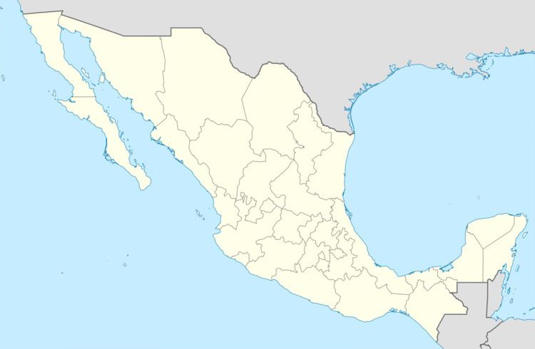 | ||
Address Valle De Los Cirios Natural Protected Area, Santa Ynés, B.C., Mexico | ||
Rancho Santa Inés Airstrip (ICAO: MM23), also known as Cataviña Airstrip, is a public airstrip located South of Cataviña, Municipality of Ensenada, Baja California, Mexico, just in the middle of the Cataviña Desert National Reserve. The airfield is used solely for general aviation purposes. The ranch offers rooms and bunkhouse accommodations for the night as well as food. The ruins of Mission Santa Maria are 23 km (14 mi) further east on a poorly maintained dirt road.
References
Rancho Santa Inés Airstrip Wikipedia(Text) CC BY-SA