
Quadrant NW Established 1977 Area 230 ha Population 7,698 (2006) | Ward 2 Annexed 1961 Local time Friday 4:32 AM | |
 | ||
Weather -2°C, Wind S at 6 km/h, 82% Humidity Restaurants Al's Pizza & Steakhou, Wok With Dave, Fusion Sushi ‑ Ranchlan, Stavros Pizza & Sportsbar, Masala Express | ||
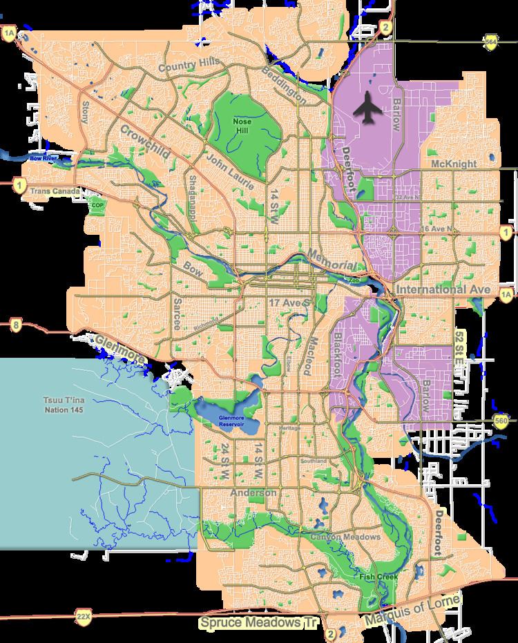
Ranchlands is a residential neighbourhood in the north-west quadrant of Calgary, Alberta. It is bounded to the north by John Laurie Boulevard, to the east by Sarcee Trail, to the south by Crowchild Trail and to the west by Nose Hill Drive.
Contents
Map of Ranchlands, Calgary, AB, Canada
The area was annexed to the City of Calgary in 1961 and Ranchlands was established in 1977. It is represented in the Calgary City Council by the Ward 2 councillor.
Demographics
In the City of Calgary's 2012 municipal census, Ranchlands had a population of 7003762600000000000♠7,626 living in 7003305100000000000♠3,051 dwellings, a 1.3% increase from its 2011 population of 7003752900000000000♠7,529. With a land area of 2.3 km2 (0.89 sq mi), it had a population density of 3,320/km2 (8,590/sq mi) in 2012.
Residents in this community had a median household income of $60,727 in 2000, and there were 15.1% low income residents living in the neighbourhood. As of 2000, 21.7% of the residents were immigrants. A proportion of 9% of the buildings were condominiums or apartments, and 27.4% of the housing was used for renting.
Education
The community is served by Ranchlands Community public school and St. Rita Elementary School (Catholic).