Time zone WET (UTC+0) Elevation 128 m | Irish Grid Reference N463640 | |
 | ||
Ranaghan is a townland and archaeological site in County Westmeath, Ireland.
Contents
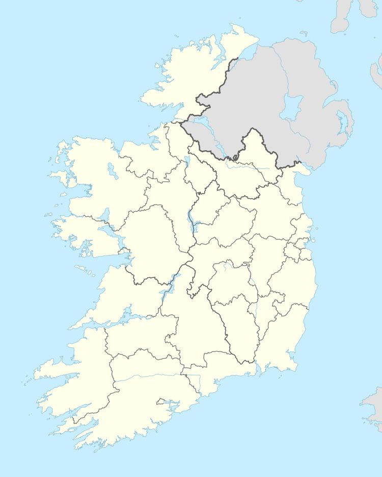
Map of Ranaghan, Co. Westmeath, Ireland
Introduction
It is situated south-west of Lough Lene positioned on high ground where there are a multitude of ringforts. Randoon possibly the most famous fort of the area, is situated between Castlepollard and Collinstown. Turgesius the Viking is believed to have governed and sejourned in this area.
Origins
Ringforts are fortified settlements that are generally agreed to be from the Early Medieval Period in Northern Europe, especially Ireland. They are also known as ráth, (as in Ranaghan) caiseal, cathair and dún (as in Randoon) in the early Irish sources. A ráth (anglicised rath), was made of earth, caiseal (northwestern Ireland, anglicised cashel) and cathair (southwestern Ireland) were built of stone. A dun is a more prestigious site, the seat of some kind of local chieften or ruler, the term is applied to promontory forts as well.
Locations
No historical or archaeological maps, surveys, nor records of the Early Medieval Period in Ireland approach the dates of the Irish ringforts. Area surrounding Lough Lene (meaning fertile soil) of Collinstown, Glenidan, Comerstown, Ranaghan, are areas doted with a multitude of ring forts testifying to the land of fertile soil.
