
OS grid reference TQ714960 Country England Post town BILLERICAY Local time Friday 7:38 AM District City of Chelmsford Civil parish South Hanningfield | Region East Sovereign state United Kingdom Postcode district CM11 1 Shire county Essex Dialling code 01268 UK parliament constituency Maldon | |
 | ||
Weather 7°C, Wind NE at 26 km/h, 87% Humidity | ||
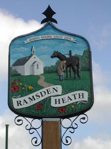
Ramsden Heath is a village in Essex, England. It is located approximately 11 km (6.8 mi) south of the county town of Chelmsford. The village is in the borough of Chelmsford and in the parliamentary constituency of Maldon. Ramsden Heath is part of the South Hanningfield Parish Council. However, the closest two towns are Wickford, 4 km (2.5 mi) southeast, and Billericay, 4 km (2.5 mi) west-south west.
Contents
Map of Ramsden Heath, Billericay, UK
The village is close to Hanningfield Reservoir. The smaller village of Downham is less than a mile east of Ramsden Heath.
Ramsden Heath has approximately 600 households.
Facilities
There are three pubs within the village, the White Horse, the Nags Head and the Fox and Hounds. There is a free church in the village called The Christian Growth Centre. There is a family-owned butchers, as well as a Coffee shop and beauticians. There is a primary school, called Downham C of E Primary School because it was once located within Downham and not Ramsden Heath.
There is a fully air-conditioned village hall available for hire; it consists of a small hall, a large hall and kitchen facilities.
Transport
The village has good links to the A12 trunk road and the A127, both main routes to London and the M25 motorway. There are bus services operated by Regal Busways, NIBS, and First Essex, linking the village to the railway line to London at Billericay and Wickford stations.