
District Bathinda PIN 151103 Population 48,450 (2011) | Time zone IST (UTC+5:30) Telephone code +91 (0)1651 Local time Friday 12:45 PM | |
 | ||
Weather 32°C, Wind NW at 16 km/h, 26% Humidity Neighborhoods Janta Colony, Aggarwal Colony, Mehraj Basti | ||
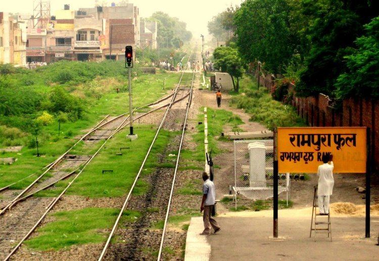
Rampura Phul is a city in the Bathinda district in the Indian state of Punjab. It is located on Dehradun-Chandigarh-Bathinda National Highway (No. 7). Its name is derived due to its location between two villages, Rampura and Phul Town. Phul Town serves as a Tehsil for villages in nearby area. The city is main market for all surrounding villages and education center, since many students from villages come here for education.
Contents
Map of Rampura Phul, Punjab
Demographics
As of the 2001 India census, Rampura Phul had a population of 42,820. Males constitute 53% of the population and females 47%. Rampura Phul has an average literacy rate of 66%, higher than the national average of 59.5%: male literacy is 70%, and female literacy is 61%. In Rampura Phul, 12% of the population is under 6 years of age.