PIN 148031 Elevation 226 m Population 1,272 (2001) | Time zone IST (UTC+5:30) Telephone code 91-1676 Area 3.94 km² | |
 | ||
Rampura Jawaharwala is a village located at 29.90°N 75.80°E / 29.90; 75.80, 9 km southeast of Lehragaga, in Sangrur district of the Punjab. Distance 4 km from Lehra Gaga and 53 km from district headquarters Sangrur.
Contents
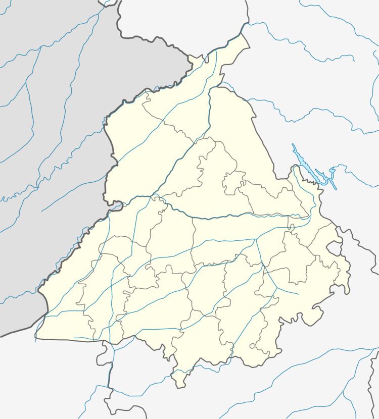
Map of Rampura Jawharwala, Punjab 148031
Geography
Rampura Jawaharwala (village) is situated on Lehragaga to Moonak and Jakhal Link Road .
Demographics
As of 2001 India census, Rampura Jawaharwala had a population of 1272 Males 693 and females 579. There were 231 households. The Village has a School Government High School Rampura Jawaharwala
References
Rampura Jawaharwala Wikipedia(Text) CC BY-SA
