
Website Official Map of Rampal | Time zone BST (UTC+6) Area 335.5 km² | |
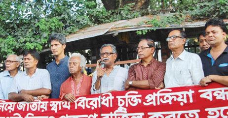 | ||
Diganta tv news pkg 1 power plant 1320mw electricity rampal upazila in bangladesh
Rampal (Bengali: রামপাল) is an Upazila of Bagerhat District in the Division of Khulna, Bangladesh.
Contents
- Diganta tv news pkg 1 power plant 1320mw electricity rampal upazila in bangladesh
- Map of Rampal Upazila Bangladesh
- Geography
- Demographics
- Economy
- Administration
- Education
- References
Map of Rampal Upazila, Bangladesh
Geography
Rampal is located at 22.5667°N 89.6639°E / 22.5667; 89.6639 . It has 33119 households and total area 335.46 km².
Demographics
As of the 1991 Bangladesh census, Rampal has a population of 167070. Males constitute 50.83% of the population, and females 49.17%. This Upazila's eighteen up population is 93518. Rampal has an average literacy rate of 45.5% (7+ years), and the national average of 32.4% literate.
Economy
Most of the people here are gentle and educated.Rampal Upazila's economical condition is good. People are working in different sectors and contributing to our national development.The main jobs are fishing and cultivating.Also there are people working in abroad.
Administration
Rampal has 11 Unions/Wards, 140 Mauzas/Mahallas, and 149 villages.