
Country India District East Godavari Elevation 162 m Population 9,952 (2011) | Time zone IST (UTC+5:30) Area 4.99 km² Local time Friday 12:12 PM | |
 | ||
Weather 36°C, Wind SW at 8 km/h, 36% Humidity | ||
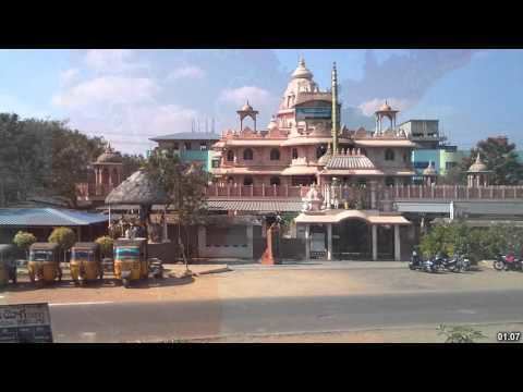
Rampachodavaram is a census town in East Godavari district of the Indian state of Andhra Pradesh. It is located in Rampachodavaram mandal of Rampachodavaram revenue division.
Contents
Map of Rampachodavaram, Andhra Pradesh 533288
Geography
Chodavaram is located at 17.4500°N 81.7667°E / 17.4500; 81.7667. It has an average elevation of 162 metres (534 ft).
Demographics
As of 2011 Census of India, Bandarulanka had a population of 9,952 with 2,485 households. The total population constitute, 5,242 males and 4,710 females —a sex ratio of 899 females per 1000 males. 943 children are in the age group of 0–6 years, of which 458 are boys and 485 are girls, —a ratio of 1059 per 1000. The average literacy rate stands at 84.50% with 7,613 literates, significantly higher than the state average of 67.41%.
References
Rampachodavaram Wikipedia(Text) CC BY-SA