
Country Italy Dialing code 0522 Local time Friday 6:25 AM Postal code 42030 Dialling code 0522 | Time zone CET (UTC+1) Area 98.5 km² | |
 | ||
Frazioni Braglie, Camporella, Canova, Casalobbio, Castagneto, Cecciola, Cerreggio, Enzano, Fornolo, Gazzolo, La Costa, Lugolo, Masere, Miscoso, Montedello, Montemiscoso, Pieve San Vincenzo, Poviglio, Succiso, Succiso Nuovo, Taviano, Tegge, Temporia, Ventasso Weather 4°C, Wind NW at 10 km/h, 100% Humidity | ||
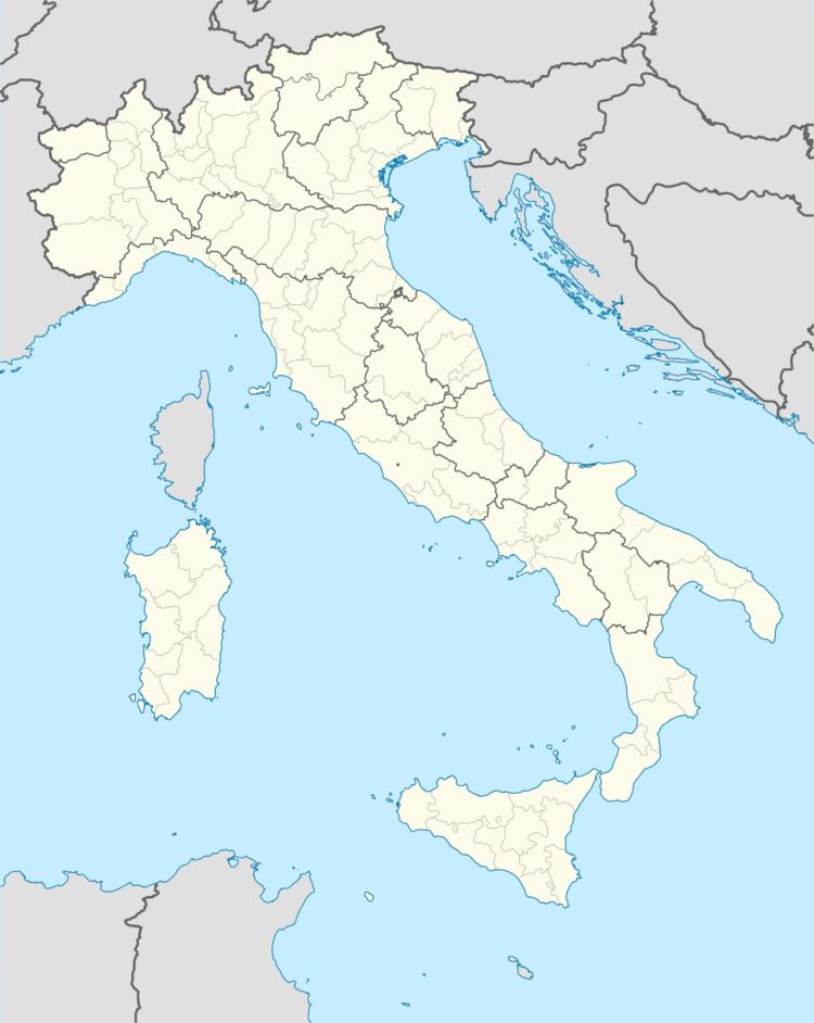
Ramiseto is a comune (municipality) in the Province of Reggio Emilia in the Italian region Emilia-Romagna, located about 90 kilometres (56 mi) west of Bologna and about 45 kilometres (28 mi) southwest of Reggio Emilia. As of 31 December 2004, it had a population of 1,432 and an area of 98.5 square kilometres (38.0 sq mi).
Contents
Map of 42030 Ramiseto Province of Reggio Emilia, Italy
Geography
The municipality of Ramiseto contains the frazioni (subdivisions, mainly villages and hamlets) Braglie, Camporella, Canova, Casalobbio, Castagneto, Cecciola, Cerreggio, Enzano, Fornolo, Gazzolo, La Costa, Lugolo, Masere, Miscoso, Montedello, Montemiscoso, Pieve San Vincenzo, Poviglio, Succiso, Succiso Nuovo, Taviano, Tegge, Temporia, and Ventasso.
Ramiseto borders the following municipalities: Busana, Castelnovo ne' Monti, Collagna, Comano, Monchio delle Corti, Palanzano, Vetto.