
Country Nepal Time zone NPT (UTC+5:45) Zone Janakpur Zone | Headquarters Janakpur Area 1,546 km² | |
 | ||
Region Central Development Region, Nepal | ||
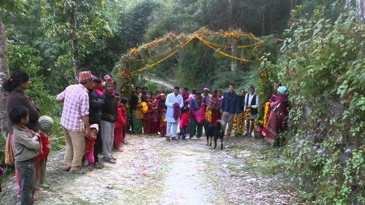
2014 village water systems in ramechhap district nepal
Ramechhap District (Nepali: रामेछाप जिल्ला Listen ), a part of Province No. 3, is one of the seventy-five districts of Nepal, a landlocked country of South Asia. The district, known as Kirat Ramechhap, with Manthali as its district headquarters, covers an area of 1,546 km² and has a population (2011) of 202,646 and a density of 137.4 per km2. The district has the highest population of the endangered native group the Kusunda and has the lowest population growth rate in Nepal.
Contents
- 2014 village water systems in ramechhap district nepal
- Map of Ramechhap Nepal
- Ramechhap district hospital ramechhap
- Etymology
- Village Development Committees VDCs
- References
Map of Ramechhap, Nepal
Ramechhap district hospital ramechhap
Etymology
The district was named after Ramechhap village. The word Ramechhap comes from two Nepali words, Ram (person's name) and Chhap (mark). According to folklore, the village of Ramechhap was once occupied by Tamang people. A Tamang of the village, Ram by name received mukhtiyari of the village by royal decree. So, the land ownership and other legal activities were performed in the village by the stamp (chhap) of Ram. Hence, the district was called Ramechhap.