
Traditional Chinese 藍巴勒海峽 Hanyu Pinyin Jyutping laam baa laak hoi haap | Simplified Chinese 蓝巴勒海峡 Romanization lam ba let hoi hiap | |
 | ||
Bridges Stonecutters Bridge, Ting Kau Bridge, Tsing Yi North Bridge | ||
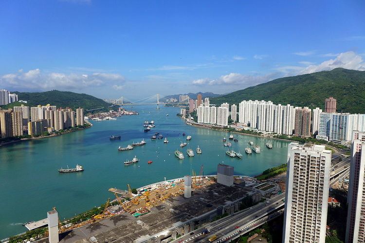
Rambler Channel is a body of water in Hong Kong that separates Tsing Yi Island from Tsuen Wan and Kwai Chung in the New Territories. The channel separates the two landmasses by 900 metres at its widest point.
Contents
Map of Rambler Channel, Hong Kong
Historically, the channel was known as Tsing Yi Mun (青衣門) and Tsing Yi Channel (青衣海峽).
The shoreline of the channel has changed rapidly in the last several decades, owing to the development of Tsuen Wan New Town and the Kwai Chung Container Port. Before extensive reclamation, Gin Drinkers Bay was located along the eastern shore of the channel, and Tsing Yi Bay was located along the western shore. Three islands (Nga Ying Chau, Pillar Island and Mong Chau) once stood in the channel as well.
Transport
Six road bridges and one rail bridge span the channel: