
Elevation 237 m (778 ft) Local time Friday 4:59 AM | Time zone CET/CEST (UTC+1/+2) Population 980 (31 Dec 2008) | |
 | ||
Weather 6°C, Wind NE at 19 km/h, 87% Humidity Points of interest Ramburg, Brushmakers' Museum - Ramberg, Burg Meistersel | ||
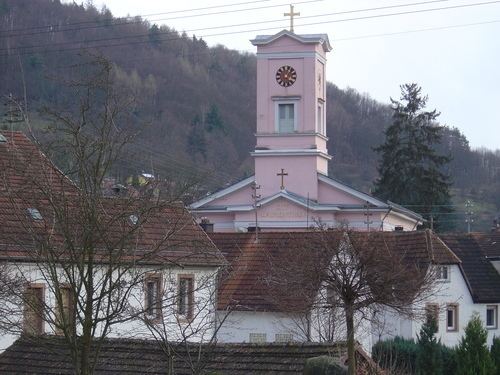
Ramberg is a municipality in Südliche Weinstraße district, in Rhineland-Palatinate, western Germany.
Contents
Map of Ramberg, Germany
Location
Ramberg lies in the Palatine Forest Nature Park around 7 km (as the crow flies) north-northeast of Annweiler am Trifels. The Dernbach stream, a tributary of the Eisbach, flows through the village from north to south direction and the village itself is surrounded by forested hills. A few hundred metres north of the built-up area is the valley of Holpertal.
On the Schlossberg ("castle hill"), which rises above the village, are the ruins of the castle of Ramburg. Other ruins near Ramberg are: Frankenfelsen Castle, Meistersel Castle and Neuscharfeneck Castle. Prominent hills within the municipality include the Drenselberg (524 m), the Schindl Kopf (510 m) and the Hühnerkopf (477 m).
Its neighbouring villages - clockwise - are Roschbach, Edesheim, Rhodt unter Rietburg, Weyher in der Pfalz, Edesheim, Hainfeld (Pfalz), Burrweiler, Flemlingen, Dernbach (Pfalz), Böchingen, Walsheim and Burrweiler.