District Krishna Time zone IST (UTC+5:30) Elevation 18 m Local time Friday 9:16 AM | Area 3.3 km² Population 22,222 (2011) | |
 | ||
Weather 31°C, Wind S at 8 km/h, 64% Humidity | ||
Ramavarappadu is a census town in Krishna district of the Indian state of Andhra Pradesh. It forms a part of Vijayawada urban agglomeration and is located in Vijayawada (rural) mandal of Vijayawada revenue division.
Contents
- Map of Ramavarapadu Vijayawada Andhra Pradesh
- Ramavarappadu ring to gunadal vijayawada latest developments view as on 11 02 2017
- Demographics
- Transport
- Education
- References
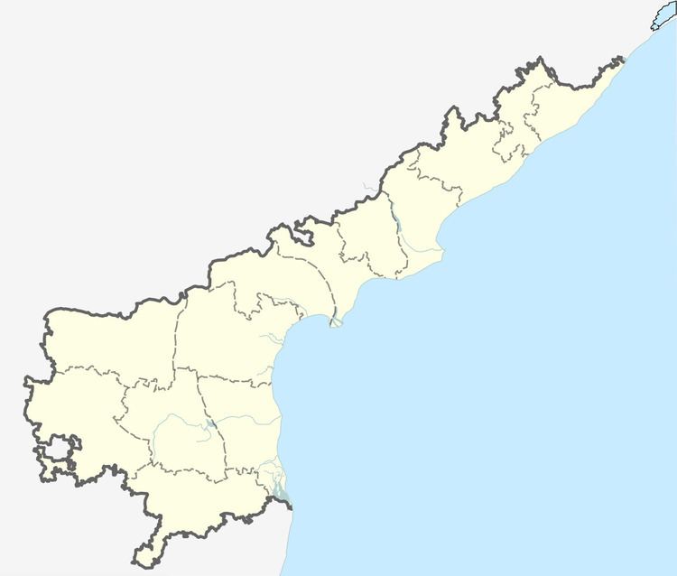
Map of Ramavarapadu, Vijayawada, Andhra Pradesh
Ramavarappadu ring to gunadal vijayawada latest developments view as on 11 02 2017
Demographics
As of 2011 Census of India, the town had a population of 22,222. The total population constitute, 11,092 males, 11,130 females and 2,316 children, in the age group of 0–6 years. The average literacy rate stands at 81.02% with 16,127 literates, significantly higher than the national average of 73.00%.
Transport
Ramavarappadu lies on National Highway 5. APS RTC runs busses from Vijayawada, Rajahmundry, Gannavaram and Eluru to here. Ramvarappadu railway station is located on the Vijayawada-Gudivada section of South Central Railway zone.
Education
The primary and secondary school education is imparted by government, aided and private schools, under the School Education Department of the state. The medium of instruction followed by different schools are English, Telugu.
