
Country India District Nellore PIN 524401 Local time Friday 8:57 AM | State Andhra Pradesh Time zone IST (UTC+5:30) Elevation 5 m | |
 | ||
Weather 29°C, Wind S at 11 km/h, 64% Humidity | ||
Ramapuram is a census village in Nellore district in the Indian state of Andhra Pradesh. Its original name (with diacritics) is Rāmāpuram.
Contents
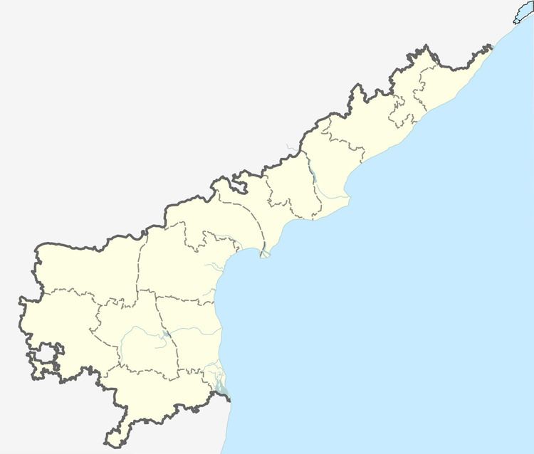
Map of Ramapuram, Andhra Pradesh 601201
Geography
Ramapuram is located at 13.52°N 80.092°E / 13.52; 80.092. It has an average elevation of 5 metres. Approximate population for 7 km radius from this point: 47956. It is the first village as you enter AP from Chennai.
Ramapuram is located very close to Sri City an Integrated Business City located on the border of Andhra Pradesh & Tamil Nadu.
Nearby Cities and Towns
The nearest railyway station is Arambakkam (1.4 nm). Sri City (7.7 nm), Sunnambukkulam (4.4 nm), Irakam (5.7 nm) & Gummidipundi (8.0 nm)
References
Ramapuram, Nellore Wikipedia(Text) CC BY-SA