
PIN 535579 Elevation 111 m Local time Friday 7:57 AM | Time zone IST (UTC+5:30) Vehicle registration AP-35 Population 10,063 (2011) | |
 | ||
Weather 29°C, Wind NE at 2 km/h, 55% Humidity | ||
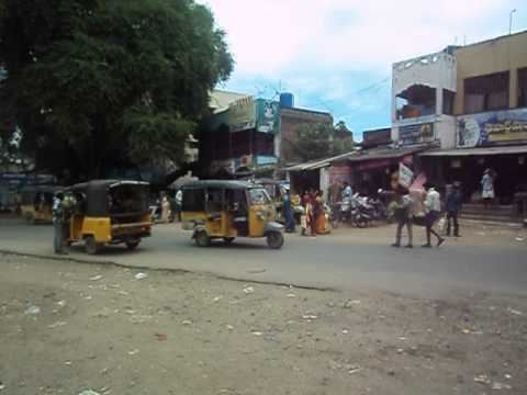
Rama-bhadra-puram is a village and Ramabhadrapuram mandal headquarters in Vizianagaram district of Andhra Pradesh, India.
Contents
Map of Ramabhadrapuram, Andhra Pradesh 535579
It is located on the National Highway 43 between Gajapathinagaram and Salur. There is a 4-way Road junction via Badangi to Srikakulam and via Bobbili to Parvathipuram.
Geography
Ramabhadrapuram is located at 18.5000°N 83.2833°E / 18.5000; 83.2833. It has an average elevation of 111 meters.
Demography
Ramabhadrapuram mandal had a population of 47,232 in 2001. Males constitute 23,423 and females 23,809 of the population. The average literacy rate is 47%. Male literacy rate is 59% and that of females 35%.
References
Ramabhadrapuram Wikipedia(Text) CC BY-SA