
Region East Central First Area Surveys 1890 Founded 18 December 1919 Area 67 ha | Census division 9 Rural Municipality RM 305 First Post Office 1908 Elevation 553 m Local time Thursday 8:26 PM ISO 3166 code Saskatchewan | |
 | ||
Weather -4°C, Wind N at 8 km/h, 82% Humidity | ||
Rama is a village in the East-Central area of Saskatchewan. It is located 44 km west of Canora and 60 km east of Wadena at the intersection of Highway 5 and Secondary Hwy 754.
Contents
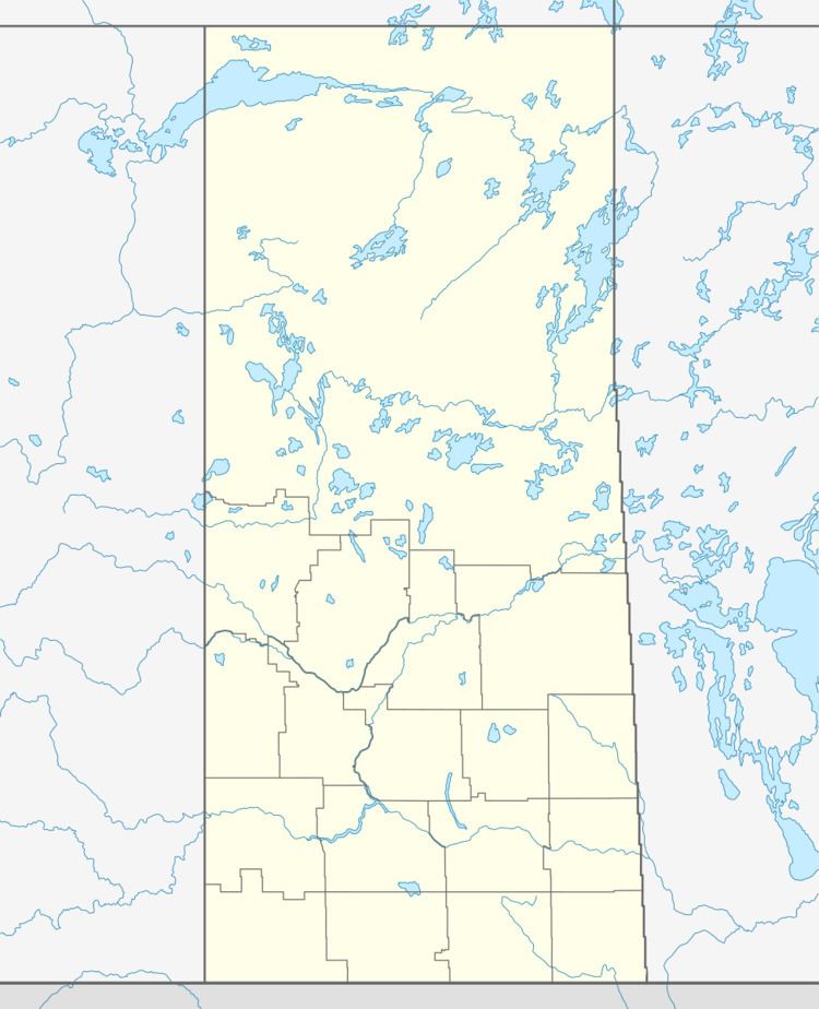
- Map of Rama SK Canada
- About
- Shrine of our Lady of Lourdes
- Old fashioned farming
- The Outdoors
- Winter and sports
- Agriculture
- Climate
- Community demographics
- Civic services
- Prehistoric times
- Community name
- Doukhobors
- Homesteading and surveys
- Timeline
- References
Map of Rama, SK, Canada
Rama is on the banks of Spirit Creek, a tributary of the Whitesand River. The Spirit Creek Dam and its reservoir are located just east of the Village.
About
Rama is located on the banks of Spirit Creek and is found at the junction of Highways 5 and 754 in Saskatchewan's aspen parkland region.
This area is part of the East Central economic improvement region of the province.
Canada Post provides Mail and Courier services through its local post outlet, S0A 3H0 is the postal code.
The RM of Invermay borders the village on all sides.
Shrine of our Lady of Lourdes
Prominently featured in Rama is the Shrine of our Lady of Lourdes, a homage of the Sanctuary of Our Lady of Lourdes, in Lourdes, France.
Many of these grottoes in Saskatchewan and eastern Alberta were created by Fr. Anthony Sylla and his parishioners.
Sylla had arrived in Saskatchewan in 1909 and by 1933 was in charge of the parish in Rama. By 1939 he began to establish the shrine and pilgrimage site. The shrine was largely completed during the next two years. Updates, landscaping changes and additions to the grounds have continued gradually until today. Every year on August 14 and 15 (since 1941) St. Anthony's parish holds a 'Pilgrimage'. Mass is held in several languages, and a candlelight procession occurs. The shrine in Rama is located west of St. Anthony's church.
Old fashioned farming
Heritage horse drawn seeding and farming demonstrations are held in the village annually in the spring and fall (seeding and harvest). Teamsters hitch their horses up to vintage farm equipment such as discs, seeders and plows as spectators watch horse powered farming.
The Outdoors
Nearby the farmland gives way to nearly endless lakes and rivers fed by uncountable streams, swamps and other wetlands. Ducks, geese and many other water-loving migratory birds congregate here and in the nearby Quill Lakes area during the spring and fall migrations. In the fall, hunters from the local area as well as visitors from other provinces, the United States and around the world come to this area for the birds and many other game animals.
Good Spirit Lake Provincial Park, Whitesand Regional Park, Camp Whitesand, Leslie Beach, Canora Beach and many other parks and recreational opportunities nearby.
Winter and sports
Winter recreational activities include snowmobiling with an extensive network of groomed trails located nearby. The surrounding area offers activities such as hockey, curling, Ukrainian Dance, figure skating, and softball to name a few. Rama is former home of the Rama Rams softball team and the Rama Rebels recreational hockey club.
Agriculture
Growing zones are geographical areas which are generally determined by the lowest sustained temperature in that area achieved during the year and other climate variables. Rama and the surrounding area finds itself in Growing Zone 1b.
Growing zone 1 is defined as having the lowest temperature achieved of below -45.6 °C or -50 °F with the first frost usually occurring by September 12 and the last frost of the spring on or about May 22.
Saskatchewan Ministry of Agriculture studies show the available Corn Heat Units in this area to be in the 1,401-1,800 range. While suitable for silage, these conditions are quite unfavorable to grow corn in.
The soils in the community and the nearby farmland are generally black with a heavy clay base. Growing seasons are short and high soil PH (alkalinity) are challenging growing conditions for many types crops, trees and plants. Despite these challenges, cereal crop production often exceeds other areas of the province. In the 1950s, the Canora area held nearly 500 country elevators within a 30 miles radius in order to handle all the grain produced from the region.
Industry in the community consists mainly of 'family' or corporate farming with several small and medium-sized farming support businesses. While self-employment in farming is the generally accepted occupation in the area, Olysky and the Rama Co-Operative Assoc., as well as area farms, also provide employment opportunities to area residents and newcomers looking for work.
Climate
Being located in the middle of North America has its advantages and disadvantages. For example, Saskatchewan is located so far away from any large bodies of water (Great Lakes, Pacific Ocean, Atlantic Ocean) that any moderating effect these bodies of water would have on the temperature here is negligible. Because of this, Saskatchewan as a whole is considered to have a temperate continental climate. In the summer the days are very long and hot, in the winter the days become shorter and very cold, making for a temperature range that can exceed 65 °C or more.
Hours of sunlight and frequently clear skies are an important feature of the climate here. Hours of sunlight typically exceeding 2,300 hours annually.
Community demographics
Historically the population in the community has varied little. Some 1940s population estimates show the village population at a high of nearly 200 residents.
Many factors contribute to the ongoing population decline. Issues such as farm consolidation and urbanization continue to take their toll on Rama and all rural communities.
Today the population of Rama remains at around 75 people.
Civic services
Emergency and extended health care is located in Canora and in Yorkton. Ambulance services as well as home care and other medical offices are also located in Canora, Wadena and Yorkton.
Fire protection service is provided through the Invermay Volunteer Fire Department. Police services are provided by the Royal Canadian Mounted Police (RCMP) detachment in Canora.
The number 911 is used for communicating to dispatchers during emergencies on the telephone.
Primary school children from Rama and surrounding area are transported via bus to the nearby community of Invermay. The Parkland regional college offers distance education classes for adults.
Prehistoric times
Early Clovis remains found at an archaeological dig site nearby indicate settlement of this area by the Clovis culture. These artifacts date back many thousands of years. Clovis remains may predate the last ice age.
Very little sand or gravel is found in Rama or the nearby areas. Instead, the subsoil and topsoil contain clay and the lowlands are populated with semi-salty ponds and lakes. The salty wetlands result from spring runoff which dissolves minerals found subsurface, sometimes the runoff pools in low-lying areas and evaporates entirely. This evaporation deposits these minerals from the water on to the now exposed soil. The alkali clay soil is found across a large area of the province. Glaciers in this area during the last ice age are most likely are the reason for this as the glaciers scrape away the ground cover while they advance and retreat.
North America remains largely undiscovered to the rest of the world before the 1600s and even less explored in this remote area of the Assiniboine River watershed. Any activity in Rama region is limited to that of the First Nations people and wildlife and supporting plants and forest until the 1800s.
Community name
The rail siding and passenger platform at what is now the village was named Rama in 1904 by Canadian Northern Railways. Saskatchewan Wheat Pool archives show the name was from the Rama area of Ontario. More commonly the name is thought to refer to the Norwegian Ram as the founder was from Norway. No reference material exists to back up this claim. The municipal corporation has been named Rama since its inception in 1919 the name was not declared official by other levels of government until years later, 1956.
While other names such as Silver Hill (1907) were discussed for the village or school district they were ultimately passed over and for simplicity sake the decision was made to keep with the name already given to the train platform and siding there.
Rama is assigned a UN/LOCODE of CA-RMA.
Doukhobors
Until 1899 a large area directly to the east of Rama, around the north end of good spirit lake, was reserved for the Doukhobors; this reserve was called the Good Spirit Lake Annex. It was part of the South Colony. The people settled eight communal villages in this area of almost 170,000 acres.
Decisions of the Canadian government in the early 1900s (1907) caused almost all these communal farm villages to be deserted for individual homesteads by 1918. These families moved on to southern British Columbia or onto individual farmsteads.
Homesteading and surveys
Rama became an incorporated village on December 18, 1919. The first British-Canadian surveys in the Assiniboia district were completed in this area for the British crown by around 1879, by 1890 the provisional government began to encourage European immigration to the area.
At about the same time the site for Rama was being surveyed a large wave of immigrant homesteaders were coming to the province from all over the world.
The settlers that arrived to homestead in the area of Rama were largely of Eastern European origin. Some of the first area families lived south of the town site. They were documented as the Landstad's, Murray's, Dean's, and Lockhart's all on or near the former Pelly Trail to the south of Rama. John Berge (and family) are listed as homesteaders in the area near the rail siding.