
PIN 225409 Elevation 110 m Area code 05241 | Time zone IST (UTC+5:30) Telephone code 05241 Local time Friday 7:40 AM | |
 | ||
Weather 22°C, Wind E at 2 km/h, 79% Humidity | ||
Ram Sanehi Ghat(or Ramsanehi Ghat or Ramsanehighat) is a town in Barabanki district in the state of Uttar Pradesh, India. It is a Tehsil and Police station(Thana).
Contents
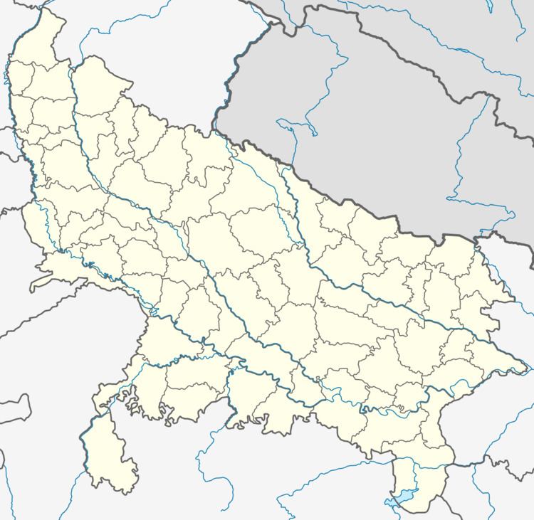
Map of Ram Sanehi Ghat, Uttar Pradesh
Geography
Ram Sanehi Ghat is located at 26.80°N 81.55°E / 26.80; 81.55,. It has an average elevation of 110 metres (360 feet).
There is a flood recording station at the Elgin Bridge which records rise and fall in the Ghaghra River. Tehsil Ram Sanehi Ghat is threatened as soon as water crosses 347 ft mark at the Elgin Bridge.
Demographics
As of 2001 India census, Ram Sanehi Ghat had a population of 364,887. Males constitute 53% of the population and females 47%. Ram Sanehi Ghat has an average literacy rate of 52%, lower than the national average of 59.5%: male literacy is 56%, and female literacy is 47%. In Ram Sanehi Ghat, 17% of the population is under 6 years of age.
Health infrastructure
Tehsil Ram Sanehi Ghat has: