
Vehicle registration GJ Elevation 148 m | Time zone IST (UTC+5:30) Website gujaratindia.com Local time Friday 3:37 AM | |
 | ||
Weather 25°C, Wind S at 0 km/h, 43% Humidity Neighborhoods Professor Colony, Chitrakut Society, Navapara | ||
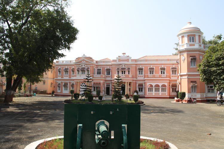
Rajpipla city of incredible gujarat
Rajpipla is a city and a municipality in the Narmada district in the Indian state of Gujarat.
Contents
- Rajpipla city of incredible gujarat
- Map of Rajpipla Gujarat
- Junaraj a place near rajpipla old capital of rajpipla kingdom best place to visit in gujarat
- Geography
- History
- Demographics
- References
Map of Rajpipla, Gujarat
It was the capital of the former Kingdom of Rajpipla.
Junaraj a place near rajpipla old capital of rajpipla kingdom best place to visit in gujarat
Geography
Rajpipla is located at 21.78°N 73.57°E / 21.78; 73.57. It has an average elevation of 148 metres (485 feet).
History
Rajpipla was known as Nandipuri during the rule of Gurjara kings, when it was the capital of the Lata kingdom. A later form of the name Nandol and Nandod have also been in use in medieval times.
Demographics
As of 2001 India census, Rajpipla had a population of 54,923. Males constitute 51% of the population and females 49%. Rajpipla has an average literacy rate of 97%, higher than the national average of 59.5%: male literacy is 92%, and female literacy is 91%. In Rajpipla, 10% of the population is under 6 years of age. Rajpipla is one of the most literate towns of Gujarat. Chief Minister Modi once gave example of Rajpipla in his speech for rapid growth of this town.