
Area 313 km² | Time zone BST (UTC+6) | |
 | ||
Website Official Map of Rajbari Sadar | ||
Rajbari Sadar (Bengali: রাজবাড়ী সদর) is an Upazila of Rajbari District in the Division of Dhaka, Bangladesh.
Contents
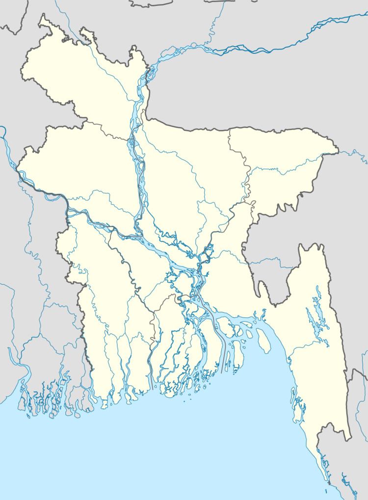
Map of Rajbari Sadar Upazila, Bangladesh
Geography
Rajbari Sadar is located at 23.7542°N 89.6500°E / 23.7542; 89.6500. It has 48513 households and total area 313 km².
Demographics
As of the 1991 Bangladesh census, Rajbari Sadar has a population of 263555. Males constitute 51.46% of the population, and females 48.54%. This Upazila's eighteen up population is 133985. Rajbari Sadar has an average literacy rate of 32.3% (7+ years), and the national average of 32.4% literate.
Administration
Rajbari sadar is a famous area from British period. Raja Surjy Kumar was the last land lord of Rajbari. Rajbari has 17 Unions/Wards, 234 Mauzas/Mahallas, and 203 villages.
The prominent villages of Rajbari Sadar are Ramkantopur(BCK),Chondoni, Baradanga, Vabanipur, Sajjankahdha, Atdapunia, Binodpur, Kola, Mushidha, Matipara, Raynagor, Rajapur, Mulghor, etc.