
PIN 700135 (Rajarhat) Area 69.09 km² Area code 03174 | Time zone IST (UTC+5:30) Telephone/STD code 03174 Population 189,893 (2011) | |
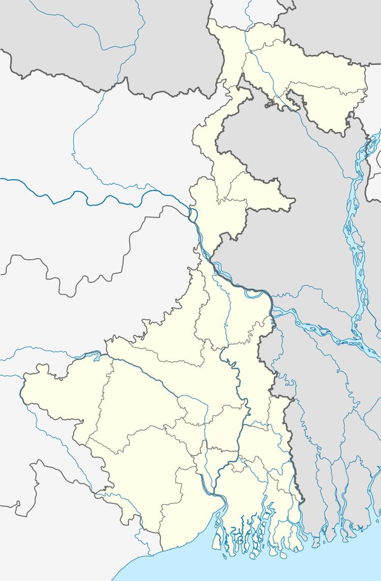 | ||
Rajarhat is a community development block that forms an administrative division in Barasat Sadar subdivision of North 24 Parganas district in the Indian state of West Bengal. Rajarhat police station serves this block. Headquarters of this block is at Rajarhat. It is located 56 km from Barasat, the district headquarters.
Contents
Location
Rajahat Bishnupur, a constituent panchayat in Rajarhat block, is located at 22°36′37″N 88°31′37″E.
Rajarhat CD Block is bounded by Barasat II CD Block in the north, Bhangore II CD Block in South 24 Parganas district in the east and south, Rajarhat Gopalpur municipality and Bidhannagar municipality (both part of Bidhannagar Municipal Corporation since 2015) in the west.
Area
Rajarhat CD Block has an area of 69.09 km2.
Physical features
North 24 Parganas district is part of the Gangetic delta, lying east of the Hooghly River. The country is flat. It is a little raised above flood level and the highest ground borders the river channels. The rivers in the district were formerly distributaries of the Ganges but their mouths have long been filled up and blocked. The area is described as a sort of a drowned land broken by swamps. Land in the north-east of the district is higher than that of the rest of the district. The sturdy peasants raise crops of rice, jute and sugarcane from the alluvial soil. There are clumps of palm and fruit trees in which village homesteads nestle. Industrial activity is concentrated in the narrow strip of land along the Hooghly River. The south-eastern part of the district gradually merges into the Sunderbans. Parts of the metropolitan city of Kolkata extend over southern part of the district.
Gram panchayats
Gram panchayats of Rajarhat block/ panchayat samiti are: Chandpur, Mahisbathan II, Rajarhat Bishnupur I, Jangrahatiara II, Patharghata and Rajarhat Bishnupur II.
Demographics
As per 2011 Census of India Rajarhat CD Block had a total population of 189,893, of which 89,607 were rural and 100,286 were urban. There were 97,623 (51%) males and 92,210 (49%) females. Population below 6 years was 22,003. Scheduled Castes numbered 65,551 and Scheduled Tribes numbered 1,174.
As per 2001 census, Rajarhat block has a total population of 145,357 out of which 75,142 were males and 72,709 were females. Population of the rural areas in the block was 138,629 and that of the urban areas was 6,728. Rajarhat block registered a population negative growth of - 49.19 per cent during the 1991-2001 decade. Decadal growth for the district was 22.40 per cent. Decadal growth in West Bengal was 17.84 per cent.
Census towns and large villages
There are several census towns in Rajarhat CD Block (2011 census figures in brackets): Raigachhi (8,254), Rekjuani (16,553), Bhatenda (6,349), Basina (5,413), Bishnupur (12,660), Chandanpur Champagacghhi (6,431), Jatragachhi (6,890), Ghuni (24,249) and Sulangari (13,496).
Large villages in Rajarhat CD Block (2011 census figures in brackets): Thakdari (4,247), Mahisgot (7,224), Tarulia (4,278), Mahammadpur (4,141), Chakpachuria (5,024), Baligari (4,193), Patharghata (8,039) and Bagdobamachhi Bhanga (4,483).
Literacy
As per 2011 census the total number of literates in Rajarhat CD Block was 139,571 (83.13% of the population over 6 years) out of which 75,258 (54%) were males and 64,313 (46%) were females.
As per 2011 census, literacy in North 24 Parganas district was 84.06 (including urban areas outside the CD Blocks). Literacy in West Bengal was 77.08% in 2011. Literacy in India in 2011 was 74.04%.
See also – List of West Bengal districts ranked by literacy rate
Language
Bengali is the local language in these areas.
Religion
In the 2011 census Hindus numbered 112,824 and formed 59.41% of the population in Rajarhat CD Block. Muslims numbered 75,763 and formed 39.90% of the population. Others numbered 1,306 and formed 0.69% of the population.
In 1981 Hindus numbered 104,432 and formed 63.99% of the population and Muslims numbered 58,298 and formed 35.82% of the population. In 1991 Hindus numbered 214,970 and formed 75.15% of the population and Muslims numbered 69,588 and formed 24.33% of the population in Rajarhat CD Block. (1981 and 1991 census was conducted as per jurisdiction of the police station.)
In the 2011 census, Hindus numbered 7,352,769 and formed 73.46% of the population in North 24 Parganas district. Muslims numbered 2,584,684 and formed 25.82% of the population.In West Bengal Hindus numbered 64,385,546 and formed 70.53% of the population. Muslims numbered 24,654,825 and formed 27.01% of the population.
Human Development Report
According to Census 2001, 54% of the population of North 24 Parganas district lived in the urban areas. The district had 1,571 inhabited villages spread over 22 community development blocks. In the urban area there were 27 municipalities, 20 census towns, 7 urban outgrowths and one town under Cantonment Board. The North 24 Parganas district Human Development Report opines that in spite of agricultural productivity in North 24 Parganas district being rather impressive 81.84% of rural population suffered from shortage of food. The number of families living below the poverty line varied widely from block to block. Even in some municipal areas, such as Baduria, Gobardanga, Taki, Basirhat, Bangaon and Habra surveys have revealed large percentage of people living in poverty. Several poverty alleviation schemes are under implementation mostly at the block level. North 24 Parganas district with a population density of 2,192 persons per square km, was the third densest in West Bengal, after Kolkata and Howrah. The high density of population in the district is largely because of large scale migration of refugees from erstwhile East Pakistan, particularly in the period 1947 to 1955. In 2004, life expectancy at birth of a female was 71 years and that of a male was 66 years. With a literacy rate of 68.74% in 2001, the district was second only to Kolkata in the state in literacy. There were 6,139 habitations in the rural areas of North 24 Parganas. Out of these 2,331 habitations have primary schools within the villages and another 3,334 habitations have primary schools within 1 km. There are 474 habitations with primary schools beyond 1 km from the village. There were 258 high schools in the rural areas of the district.
Rajarhat CD Block had a population density of 1,902 persons per km2. It was ranked 3 (after Barasat I and Barrackpore II CD Blocks) amongst the 22 CD Blocks for density of population in 2001. It had a literacy rate of 74.83%, rank 5. Male literacy rate was 81.83% and female literacy rate was 67.27%. Percentage distribution of main workers in Rajarhat CD Block was cultivators 10.59, agricultural labourers 15.20, household industry workers 5.33 and other workers 68.88 (non-agricultural, non-household). 22.60% of households in this CD Block lived below poverty line.
In the Rajarhat CD Block 8 villages had secondary schools and for 100% villages a college was more than 5 km away. Rajarhat had 6 high schools with 6,198 students and 79 teachers. It had 9 higher secondary schools with 9,128 students and 181 teachers.
In Rajarhat CD Block, 92.11% of the villages had electricity for domestic use, 100% villages had paved approach roads, 94.74% villages had primary schools, 44.74% villages had maternity and child welfare centres, and 100% villages had drinking water. The tube well is the source of drinking water in 1,244 out of 1,572 villages in the district. In Rajarhat CD Block, 28 villages had tube wells for drinking water, 3 villages had tap water and 7 villages used tank water. Rajarhat CD Block had 176 km surfaced roads and 29 km unsurfaced roads.
North 24 Parganas is one of the leading districts in the formation and development of self-help groups. In Rajarhat there were 130 such groups. The major activities done by these groups were ari work, tailoring and catering service. Rajarhat CD Block had 3 health centres and 37 sub-centres.