Talukas Rajanagaram Elevation 40 m | Time zone IST (UTC+5:30) Local time Friday 1:51 AM | |
 | ||
Weather 26°C, Wind N at 0 km/h, 87% Humidity | ||
Rajanagaram mla pendurthi venkatesh shocked watch story behind hmtv
Rajanagaram is a village in East Godavari district in the state of Andhra Pradesh in India. The village also forms a part of Godavari Urban Development Authority.
Contents
- Rajanagaram mla pendurthi venkatesh shocked watch story behind hmtv
- Map of Rajanagaram Andhra Pradesh 533294
- Geography
- Education
- References
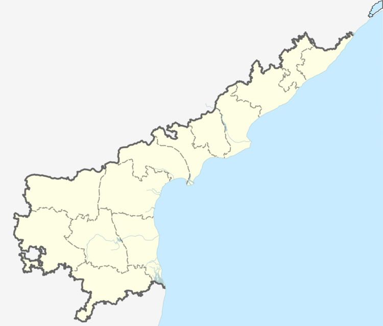
Map of Rajanagaram, Andhra Pradesh 533294
Geography
Rajanagaram is located at 17.0833°N 81.9°E / 17.0833; 81.9. It has an average elevation of 40 metres (130 ft).It is bounded by Gandepalle Mandal towards North, Rangampeta Mandal towards East, Rajahmundry Rural Mandal towards west, Korukonda Mandal towards North.
Education
The colleges located in and around Rajanagaram are Godavari Institute of Engineering and Technology, Adikavi Nannaya University, Aditya Engineering College, Lenora Institute of Dental Sciences etc.
References
Rajanagaram Wikipedia(Text) CC BY-SA
