
Country Pakistan District Gujranwala District Union Council Sadhoke Elevation 218 m Postal code 52368 Dialling code 55 | Region Punjab Tehsil Kamoke Tehsil Time zone PST (UTC+5) Population 4,200 (2010) Area code 055 | |
 | ||
Raja Rājāh (Urdu, Punjabi: راجہ) is a village of Gujranwala District located in Punjab, Pakistan
Contents
- Map of Raja Village Pakistan
- Mosques
- Schools and education
- Banks
- Agriculture
- Hospitals
- Climate
- Nearby locations
- Major tribes
- References
Map of Raja Village, Pakistan
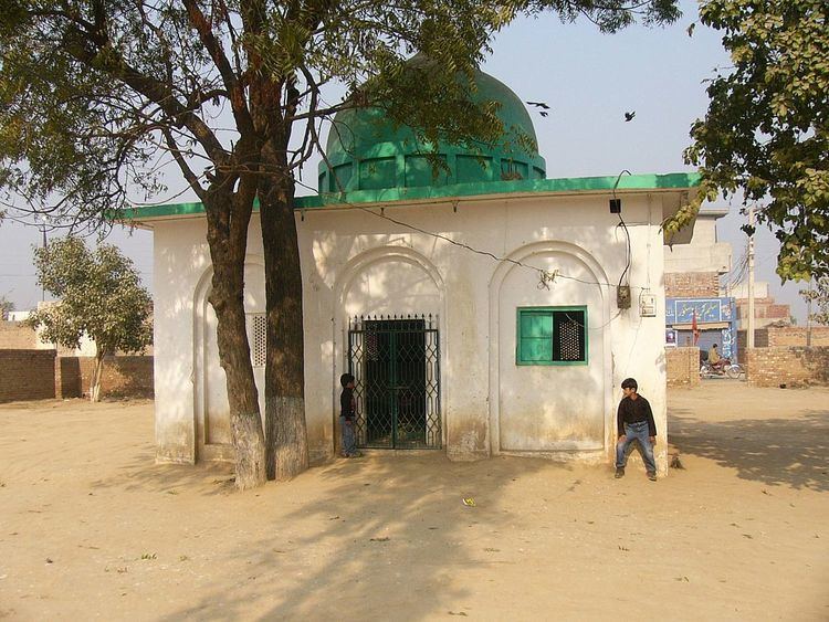
Mosques
Jamia Masjid Sadiqia Rizvia (Hanfi Bareelvi)
Jamia Masjid Ahlehadees (Ahlehadees)
Jamia Masjid Madni (Hanfi Dewbandi)
Masjid Alhayat
Jamia Masjid Toheed
Schools and education
Govt. Primary School for Boys
Govt. Primary School for Girls
Govt. High School for boys
Sir Sayed Model School
Sapna Model School
Jazib Public School
Banks
MCB Bank Limited (Raja Sadhoke Branch), The only one online bank in this area. 1LINK, MNET, VISA, MASTERCARD ATM Active 24/7.
Agriculture
rice and wheat are the basic crops cultivated in the area
Hospitals
Basic Health Unit Raja.
Climate
Weather conditions for Raja Village are dominated by its geographical location.
The summer season is long and hot. The piercing sunrays may raise the temperature up to 46 °C (115 °F).
Nearby locations
Sadhoke 1 km east side
Muridke 13 km South via Sadhoke
kamoke 10 km North via Sadhoke
Sheikhupura 30 km West via Baig pur road
Gujranwala 30 km North via sadhoke
Lahore 35 km South via Sadhoke
Major tribes
The Rajputs and Jats are major tribe. The principal clans are Virk Gill Rajput Mughal sayed Ansari Kumar Arain residing here.