
Area 312.8 km² | Time zone BST (UTC+6) | |
 | ||
Website Official Map of Raipura | ||
Raipura (Bengali: রায়পুরা) is an Upazila of Narsingdi District in the Division of Dhaka, Bangladesh, and Bauakandi High School M.M. Jaman Vila
Contents
Map of Raipura Upazila, Bangladesh
Geography
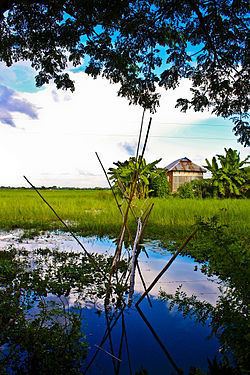
Raipura is located at 23.9667°N 90.8750°E / 23.9667; 90.8750. It has 76508 households and total area of 312.77 square kilometres (120.76 sq mi).
Demographics
At the 1991 census Raipura had a population of 413,766, of which 204,212 were aged 18 or older. Males constituted 51.58% of the population, and females 48.42%. Raipura had an average literacy rate of 22.5% (7+ years), against the national average of 32.4%.
Administration
Raipura has 24 Unions/Wards, 114 Mauzas/Mahallas, and 231 villages.
References
Raipura Upazila Wikipedia(Text) CC BY-SA