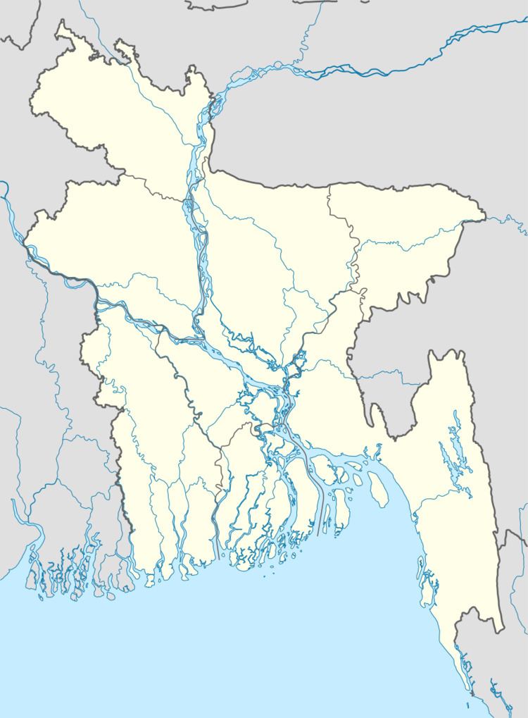
Area 267.8 km² | Time zone BST (UTC+6) | |
 | ||
Website Official Map of Raiganj | ||
Raiganj (Bengali: রায়গঞ্জ) is an Upazila of Sirajganj District in the Division of Rajshahi, Bangladesh.
Contents
- Map of Raiganj Upazila Bangladesh
- Administration
- Education
- Fuljore Degree College
- Economy Agriculture
- References
Map of Raiganj Upazila, Bangladesh
Administration
Raiganj Thana was formed in 1937 and it was turned into an upazila in 1984
Raiganj has 9 Unions, 193 Mauzas/Mahallas, and 270 villages. Union Porishodh name:
Education
According to Banglapedia, there are 11 colleges, 43 secondary schools, and 37 madrasas in the upazila.
Fuljore Degree College
Fuljore Degree College is one of the famous colleges in this upazila. This college is contributing to enlighten the local students with the light of higher education.
Economy & Agriculture
Main sources of income Agriculture 69.27%, non-agricultural laborer 2.93%, industry 4.46%, commerce 11.25%, transport and communication 2.51%, service 3.90%, construction 0.90%, religious service 0.17%, rent and remittance 0.18% and others 5.33%
.Ownership of agricultural land Landowner 55.99%, landless 44.01%; agricultural landowner: urban 35.59% and rural 56.49%.
Main crops Paddy, jute, potato, sugarcane, wheat, pulse, vegetables and fruits Mango, jack-fruit, litchi, banana, papaya, guava, blackberry.
Fisheries, dairies and poultices: Fishery 38, dairy 8, poultry 28, hatchery 5.
There are also many factories like rice mill, flour mill, ice factory, saw mill, welding factory.
