Country India District South 24 Parganas ISO 3166 code IN-WB Elevation 4 m | State West Bengal Time zone IST (UTC+5:30) Vehicle registration WB Government body Gram panchayat | |
 | ||
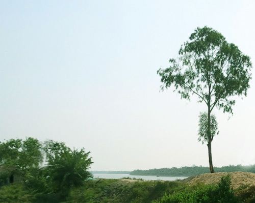
Green going introducing raidighi
Raidighi is a village with a police station in Mathurapur II CD Block of Diamond Harbour subdivision of South 24 Parganas district in the Indian state of West Bengal.
Contents
Map of Raidighi, West Bengal
Demographics
As per 2011 Census of India Raydighi Abad had a total population of 20,467, of which 10,584 (52%) were males and 9,884 (46%) were females. Population below 6 years was 2,501. The total number of literates in Raydighi Abad was 14,370 (79.98 % of the population over 6 years).
In the 2001 census, Raidighi gram panchayat had a population of 24,957 of which 12,974 were males and 11,983 were females.
Transport
References
Raidighi Wikipedia(Text) CC BY-SA
