
District Ahmednagar Elevation 511 m Local time Thursday 6:11 PM | Time zone IST (UTC+5:30) Population 34,465 (2001) | |
 | ||
Weather 36°C, Wind E at 8 km/h, 13% Humidity Neighborhoods Savata Nagar, Mehetre Mala, Gokul Nagar, P Nagar | ||
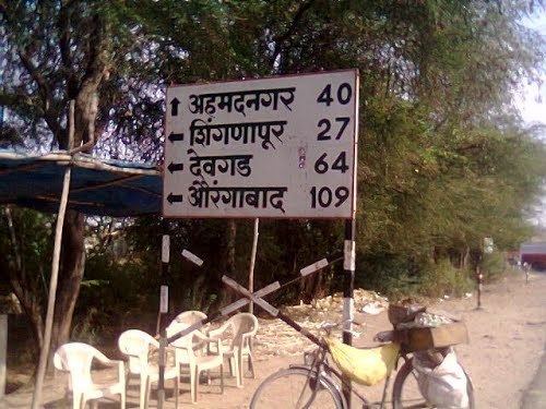
Rahuri pronunciation is a city and a municipal council in Ahmednagar district in the Indian state of Maharashtra.
Contents
Map of Rahuri, Maharashtra 413705
Geography
Rahuri is located at 19.38°N 74.65°E / 19.38; 74.65. It has an average elevation of 511 metres (1676 feet).
Demographics
As of 2001 India census, Rahuri had a population of 34,465. Males constitute 52% of the population and females 48%. Rahuri has an average literacy rate of 70%, higher than the national average of 59.5%: male literacy is 77%, and female literacy is 63%. In Rahuri, 13% of the population is under 6 years of age.
Prominent Personalities
References
Rahuri Wikipedia(Text) CC BY-SA