District Ahmadnagar Population 19,024 (2001) | Time zone IST (UTC+5:30) Local time Thursday 5:02 PM | |
 | ||
Weather 37°C, Wind NE at 3 km/h, 12% Humidity Neighborhoods Sri ram Nagar, Teachers Colony, Rabiya Nagar, Trishul Nagar | ||
Rahata is a city and a municipal council in Ahmadnagar district in the Indian state of Maharashtra.
Contents
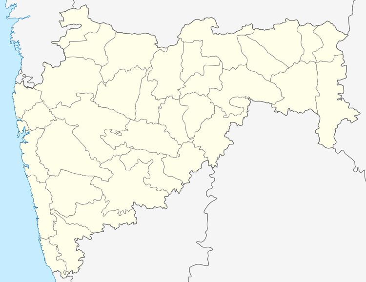
Map of Rahata, Maharashtra 423107
Demographics
As of 2001 India census, Rahata had a population of 19,024. Males constitute 51% of the population and females 49%. Rahta Pimplas has an average literacy rate of 72%, higher than the national average of 59.5%: male literacy is 79%, and female literacy is 65%. In Rahta Pimplas, 13% of the population is under 6 years of age. Bhagwatipur Kolhar and shirdi is famous place in Rahata Taluka as there is temple of Bhagwati Mata.
Location
Rahata city is located on the Nagar-Manmad road, just 5 km from holy place shirdi & Bhagwatimata (3 1/2 Shaktipeth) temple at Bhagwatipur Kolhar 20 km from shirdi. And Famous for agriculture implements one of the most Showroom famous in Rahta
