
Elevation 58 m Local time Thursday 4:04 PM | Time zone IST (UTC+5:30) Population 5,601 (2001) ISO 3166 code ISO 3166-2:IN | |
 | ||
Weather 34°C, Wind NW at 6 km/h, 34% Humidity | ||
Raghunathpur is a census town in Buxar District in the Indian state of Bihar.
Contents
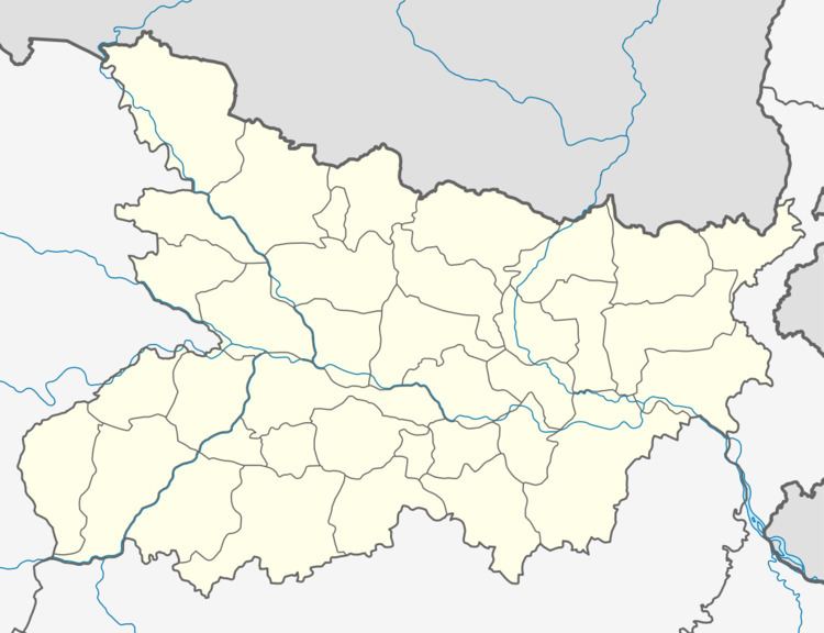
Map of Raghunathpur, Bihar 802134
Geography
Raghunathpur is located at 25.33°N 84.19°E / 25.33; 84.19. It has an average elevation of 58 metres (190 feet).
Demographics
As of 2001 India census, Raghunathpur had a population of 5601. Males constitute 55% of the population and females 45%. Raghunathpur has an average literacy rate of 53%, lower than the national average of 59.5%: male literacy is 62%, and female literacy is 42%. In Raghunathpur, 18% of the population is under 6 years of age.
References
Raghunathpur, Buxar Wikipedia(Text) CC BY-SA