
Elevation 545 m Number of airports 1 | Time zone EAT (UTC+3) Local time Thursday 12:43 PM | |
 | ||
Weather 39°C, Wind SE at 10 km/h, 15% Humidity | ||
Raga also called Raja is a town in South Sudan and the capital of Lol State.
Contents
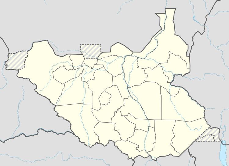
Map of Raga, South Sudan
Location
The town is located in Raga County, Lol State, in the northwestern corner of South Sudan, near the International borders with the Republic of Sudan and the Central African Republic. It is located approximately 300 kilometres (190 mi), by road, northwest of Wau, the capital of Western Bahr el Ghazal State. This location lies approximately 950 kilometres (590 mi), by road, northwest of Juba, the capital and largest city in that country. The coordinates of Raga are: 8° 28' 12.00"N, 25° 40' 48.00"E (Latitude: 8.4700; Longitude: 25.6800). Raga's average elevation is 545 metres (1,788 ft) above sea level.
Climate
Köppen-Geiger climate classification system classifies its climate as tropical wet and dry (Aw).
Overview
Raga is a small but growing town that straddles the Raga River. Life in Raga has been described by a native author, Naomi Baki, who was raised in Raga till she was forced to leave the city at the age of 14.
Population
It is estimated that the population of Raga was 3,700 in 2010.
Transport
From Raga, the main road north (B41) leads to Al Murrah in the Republic of Sudan. B41-South leads to Wau, South Sudan. Raga is also served by Raga Airport.