
Local time Thursday 1:15 AM | Area 4.93 km² | |
 | ||
Weather 6°C, Wind E at 16 km/h, 83% Humidity | ||
Tnla 2017 lyc e radinghem
Radinghem is a commune in the Pas-de-Calais department in the Hauts-de-France region of France.
Contents
- Tnla 2017 lyc e radinghem
- Map of 62310 Radinghem France
- Radinghem
- Geography
- History
- Places of interest
- References
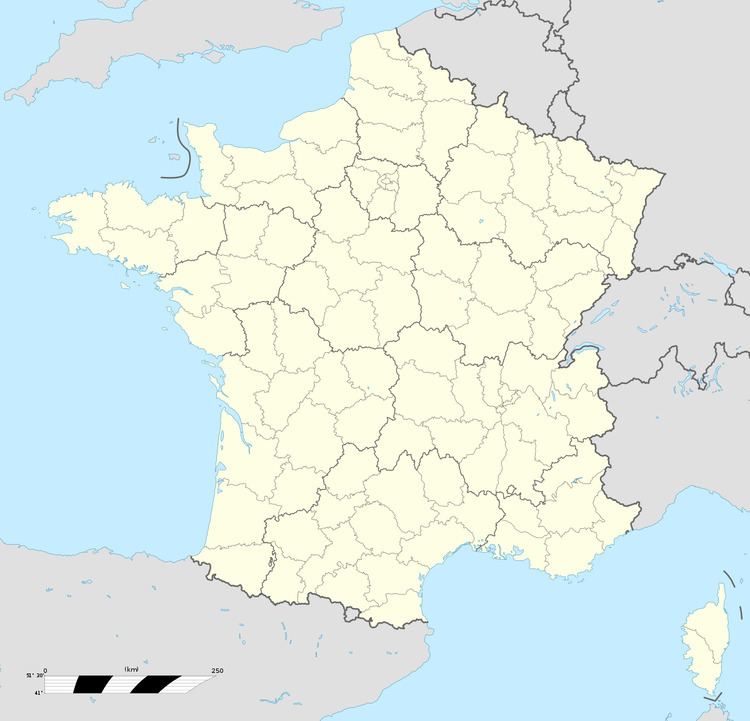
Map of 62310 Radinghem, France
Radinghem
Geography
Radinghem lies 20 miles (32 km) northeast of Montreuil-sur-Mer on the D157 road.
History
In the Second World War, the chateau grounds were the site of a V2 launchpad from 1944-45.
Places of interest
References
Radinghem Wikipedia(Text) CC BY-SA