
Time zone CET/CEST (UTC+1/+2) Area 18.99 km² Postal code 06901 Dialling code 034927 | Elevation 67 m (220 ft) Postal codes 06901 Local time Wednesday 9:09 PM | |
 | ||
Weather 7°C, Wind E at 13 km/h, 64% Humidity | ||
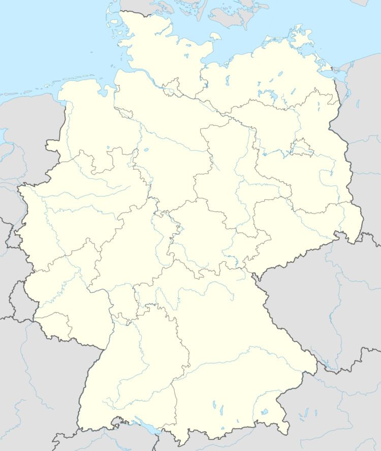
Rackith is a village and a former municipality in Wittenberg district in Saxony-Anhalt, Germany. Since 1 January 2010, it is part of the town Kemberg.
Contents
- Map of Rackith Kemberg Germany
- Geography
- Subdivisions
- History
- Politics
- Economy and transportation
- References
Map of Rackith, Kemberg, Germany
Geography
Rackith lies about 12 km southeast of Lutherstadt Wittenberg.
Subdivisions
Rackith has two of these: Lammsdorf and Bietegast.
History
Rackith had its first documentary mention in 1004.
Politics
The municipal council is made up of ten councillors.
Economy and transportation
Federal Highway (Bundesstraße) B 182 between Wittenberg and Torgau runs right through the community. Rackith railway station lies on the single-track line between Wittenberg and Bad Schmiedeberg.
References
Rackith Wikipedia(Text) CC BY-SA