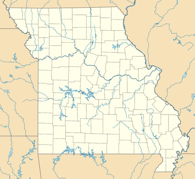
Country United States Elevation 293 m Local time Wednesday 2:25 PM | Time zone Central (CST) (UTC-6) Zip code 64858 Area code 417 | |
 | ||
Weather 13°C, Wind E at 14 km/h, 51% Humidity | ||
Racine is an unincorporated community in Newton County, Missouri, United States. It is part of the Joplin, Missouri Metropolitan Statistical Area.
Contents
Map of Racine, MO 64865, USA
History
A post office called Racine has been in operation since 1869. The town was originally called Dayton, after Dayton, Ohio, as was the surrounding township. However, this caused a conflict with Postal Service deliveries due to the existence of another Dayton, MO, so the name was changed to Racine, after Racine, Wisconsin. It is still in Dayton Township.
Geography
Racine is located along the Frisco Railroad tracks between Neosho and Seneca, Missouri in Lost Creek Valley. Racine is on Route 86 where Route K and Route CC intersect. It is positioned geographically between 3 other towns. It is 6 miles west of Neosho, 10 miles south of Joplin, and 5½ miles northeast of Seneca.
Education
Most students publicly schooled in the Racine area attend the Seneca, MO School District.
Buildings
There are two churches in town, an Apostolic Church and a large Christian church. Additionally, a small fire station exists that is part of the Seneca Area Fire Protection District.
